What is recorded here
Knocknagore held a half-acre ringfort above the Owenboy estuary before ploughs and time erased its ridge. O'Leary saw the little lios in 1919, but Ó Murchadha found only a levelled site in 1967, proving that even notable Cork landscapes can vanish between two sets of boots. The missing earth does not diminish the place; it reminds us that memory, not stone, must carry what the soil has taken back.
In pasture, on N-facing slope, overlooking Owenboy river estuary. According to O'Leary (1919, 84) 'a little lios which covers half an acre'. According to Ó Murchadha (1967, 12), site of levelled ringfort. No visible surface trace.
The above description is derived from the published 'Archaeological Inventory of County Cork. Volume 2: East and South Cork' (Dublin: Stationery Office, 1994). In certain instances the entries have been revised and updated in the light of recent research.
Date of upload/revision: 14 January 2009
A fairy fort or earthen ringfort in Knocknagore, likely dating to the early medieval period, is described as a small lios covering half an acre, now levelled with no visible surface remains. It is associated with local folklore surrounding fairy activity and was noted by early 20th-century antiquarians.
The monument record does not grant public access. Check the route and ask the landowner before entering private land.
- What survives
- Recorded monument
Places near here
 Holy Trinity Templebreedy Churchchurch/chapel · 338 yd
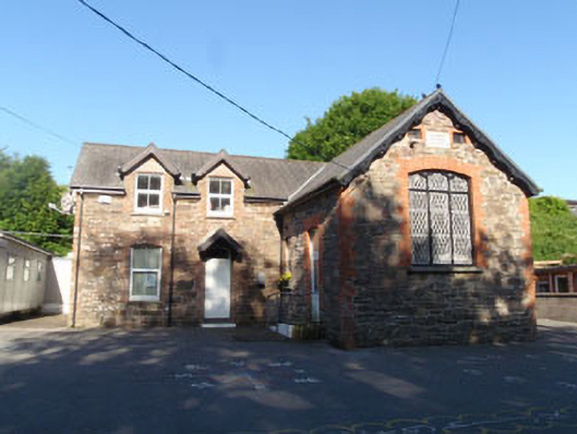 Templebrady National Schoolschool · 347 yd
 Slab-lined burial in HoddersfieldSlab-lined burial · 504 yd
 Crosshaven Tourist OfficeVisitor information · 626 yd
 St Bridgets WellHoly well · 830 yd
 Castle (Site of)Castle, unclassified · 1085 yd
 Curraghbinny WoodsForest · 1478 yd
 The Giant's GraveMonument · 1531 yd
 William Warren Baldwin plaqueMemorial · 1648 yd
 Church Bay BeachBeach / strand · 1721 yd
 Fennells Bay beachBeach / strand · 1.0 mi
 Coolmore WoodWood · 1.4 mi