What is recorded here
Situated on a slight W-E spur. The cropmark of a circular enclosure (diam. c. 25-30m) defined by a single fosse feature is visible on digital aerial photograhs (WX019-033_1A t0 _4A) taken on the 19th July 2006. Rath (WX019-017----) is c. 100m to the SW.
Compiled by: Michael Moore
Date of upload: 22 May, 2012
Amended: 30 April, 2014
The monument record does not grant public access. Check the route and ask the landowner before entering private land.
- What survives
- Recorded monument
Places near here
 IndicatedFairy fort / earthen ringfort · 142 yd
 Enclosure in Knockmore (bantry By.)Enclosure · 235 yd
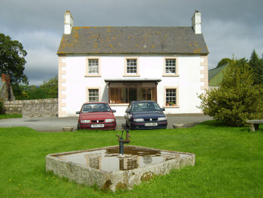 farm housefarm house · 1287 yd
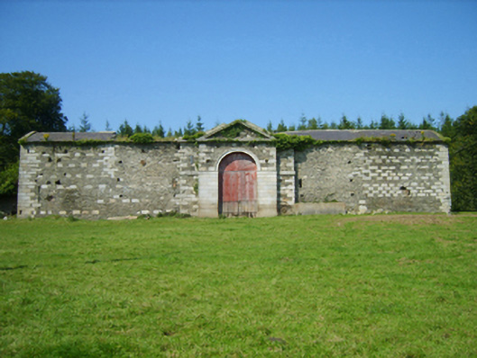 Ballyhighlandfarmyard complex · 1529 yd
 Ruin of a small castleRuins · 1.6 mi
 Killoughrum ForestForest · 2.1 mi
 1798 MemorialMemorial · 2.4 mi
 Daphney CastleCastle, unclassified · 4.2 mi
 SlievebaunMountain / peak · 4.7 mi
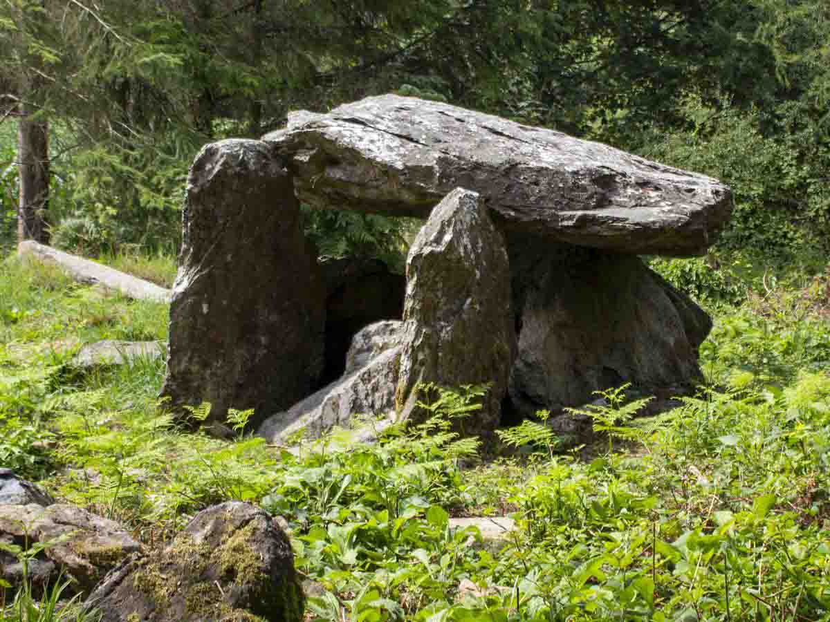 Bree HillMountain / peak · 5.2 mi
 Pedunculate OakPedunculate Oak · 5.6 mi
 Dick Joynt MemorialMemorial · 5.9 mi