What is recorded here
Knockdoebeg West holds a worn oval rath where cattle still bite through the ancient earth bank. The field wall cuts the site in two, yet a faint inner division and scattered stone walls remain visible beneath the grass. People may have lived there before the land became pasture, shaping the rock and soil into a small defensible world.
In pastureland on a very slight W-facing slope, c. 500m to SW of Knockdoe Hill. This roughly oval rath (dims. 52m ENE-WSW; 40m NNW-SSE) is defined by a low poorly preserved bank of earth and stone that is bisected by a later field wall (long axis WSW-ENE) (H 1.5m; T 0.55m) off-centre to the SSE. The bank (Wth 4.3m; int. H 0.3m; ext. H 0.3m) is worn and deeply poached by cattle from WSW to ENE and it is sod and grass covered (Wth 5.7m; int. H 0.65m; ext. H 0.35m) from ENE to WSW. There is a gap (Wth 1.9m) at NW and a wide breach (Wth 10m) from S to SSW. An internal division in the form of linear wall (L 16m; Wth 2.2m; H 0.15m) running roughly N-S is visible in the N sector. Remnants of a similar sod-covered wall are visible in the SW quadrant. Natural bedding planes of rock outcrop occur in the NE quadrant. A poorly preserved wall associated with the field system (GA070-110002-) radiates from monument at NNE and a second wall is close to it at NW. A short portion of a sod-covered stone wall extends from the ENE side, just S of the existing field wall. A house site (GA070-110004-) is evident c. 6m to the WSW.
Compiled by: Olive Alcock
Date of upload: 23 February 2017
The monument record does not grant public access. Check the route and ask the landowner before entering private land.
- What survives
- Recorded monument
Places near here
 Enclosure in Knockdoebeg West,cnoc Tua MórEnclosure · 782 yd
 Enclosure in Knockdoebeg WestEnclosure · 959 yd
 European BeechEuropean Beech · 966 yd
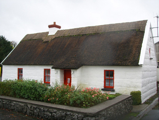 Lackagh Museum and Heritage Centrehouse · 1042 yd
 R.C. ChapelChurch · 1064 yd
 Kiltroge Castle (in ruins)Castle, tower house · 2.2 mi
 Cashlaunnagrantha in ruinsCastle, tower house · 2.3 mi
 Cregg Castle DemesneForest · 2.8 mi
 Ballinduff BayBay · 6.9 mi
 Kilcoona Round TowerHeritage attraction · 7.1 mi
 Oileán an BhreathnaighIslet · 7.9 mi
 Oileán an AoilIsland · 8.1 mi