What is recorded here
Knockbrack holds two conjoined earthen rings, the western one spanning forty metres on a south-facing slope. The second ring joins the first along its southeast arc, creating a double chamber rather than a single circle. Grass and pasture have swallowed the banks, hiding the shape from modern eyes while the land still carries the weight of that forgotten build.
In pasture, on a S-facing slope. This rath, the most westerly of two conjoined raths (see KE038-033----), is not visible at ground level. It is indicated on the 1892 OS 6-inch map as a circular enclosure (diam. c. 40m) with the second rath adjoining it along its SE arc.
Compiled by: Elizabeth Byrne, Ursula Egan and Sheila Ronan, Archaeological Survey Unit, University College, Cork.
Date of upload: 31 January 2011
The monument record does not grant public access. Check the route and ask the landowner before entering private land.
- What survives
- Recorded monument
Places near here
 IndicatedEnclosure · 475 yd
 Enclosure in Ballygamboon UpperEnclosure · 1515 yd
 Ballyfinnane Br.Bridge · 1615 yd
 Ballygamboon Forest Recreation AreaWood · 1.1 mi
 Cloonmealane CastleCastle · 1.9 mi
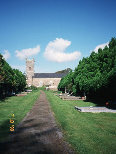 Saint Carthage's Church (Kiltallagh)church/chapel · 2.6 mi
 KnockmoyleMountain / peak · 2.9 mi
 Scotia's GraveArchaeological place · 3.0 mi
 Bealagrellagh CastleCastle · 3.3 mi
 Knockmichael MountainMountain / peak · 3.4 mi
 Common AlderCommon Alder · 3.8 mi
 Tralee Equestrian CentreHeritage attraction · 4.7 mi