What is recorded here
Knockbrack holds a thirty-metre earthen ring on a SW-facing slope beside a stream, marked by a scarp, possible fosse and a southern entrance with stone-facing. Overgrowth still chokes the interior and bank, hiding the full shape of the fort while the western gap suggests cattle may have moved through it. It is the kind of place where human hands made a small defensible world, then left it to pasture, rain and rumor.
In rough pasture, on a SW-facing slope, c. 10m E of a stream. A roughly circular area (diam. c. 30m), covered with overgrowth, defined by an earthen bank SE-E and by a scarp (H 1.45m) E-SE. The bank was difficult to examine due to the overgrowth. A possible fosse (Wth 2.3m) is visible in places, especially along the SW arc and NW-NE. The fosse at NW and SW splays outwards towards the stream to the NW and W, respectively. The external edge of the fosse is covered with overgrowth. There is a possible entrance through the bank at S. Possible stone-facing is evident on the internal face of the bank at either side of the entrance. The bank is broken by a possible cattle gap at W. The interior is completely covered with overgrowth.
Compiled by: Elizabeth Byrne, Ursula Egan and Sheila Ronan, Archaeological Survey Unit, University College, Cork.
Date of upload: 31 January 2011
The monument record does not grant public access. Check the route and ask the landowner before entering private land.
- What survives
- Recorded monument
Places near here
 IndicatedEnclosure · 242 yd
 Enclosure in Ballygamboon UpperEnclosure · 1277 yd
 Ballygamboon Forest Recreation AreaWood · 1671 yd
 Ballyfinnane Br.Bridge · 1.0 mi
 Cloonmealane CastleCastle · 1.9 mi
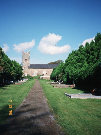 Saint Carthage's Church (Kiltallagh)church/chapel · 2.5 mi
 KnockmoyleMountain / peak · 2.8 mi
 Scotia's GraveArchaeological place · 2.9 mi
 Knockmichael MountainMountain / peak · 3.3 mi
 Bealagrellagh CastleCastle · 3.3 mi
 Common AlderCommon Alder · 3.8 mi
 Tralee Equestrian CentreHeritage attraction · 4.5 mi