What is recorded here
Knockbrack holds a broken ring where a railway cut through ancient earth, leaving a D-shaped trap of soil and memory above the Allaghaun River. Cattle still grind the bank flat while drains steal its shape, yet the fosse remains shallow enough to touch and deep enough to warn. What lives inside now is not fantasy but loss made visible: a room without walls, half-swallowed by forgetting.
In pasture, on SW-facing slope overlooking Allaghaun River to S. Monument, depicted as embanked circular enclosure (diam. c. 30m) on 1841 OS 6-inch map, has been truncated on S side by embankment for railway line (now disused). Now evident as D-shaped area (32.1m E-W; 26m N-S) enclosed SW->SE by earthen bank (int. H 0.45m; ext. H 1.3m), with external fosse (D 0.85m; Wth 1.2m) E->SE. Open drain skirts external base of bank and material dredged from drain dumped atop bank SW->NNW. Bank has been denuded by cattle accessing interior on N side. Interior, which slopes down to SW, is under pasture.
Compiled by: Denis Power
Date of upload: 26 August 2011
The monument record does not grant public access. Check the route and ask the landowner before entering private land.
- What survives
- Recorded monument
Places near here
 Enclosure in KnockbrackEnclosure · 499 yd
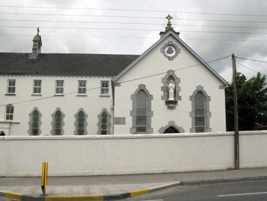 Saint Mary's Conventchurch/chapel · 1106 yd
 BarrowBarrow, ring-barrow · 1158 yd
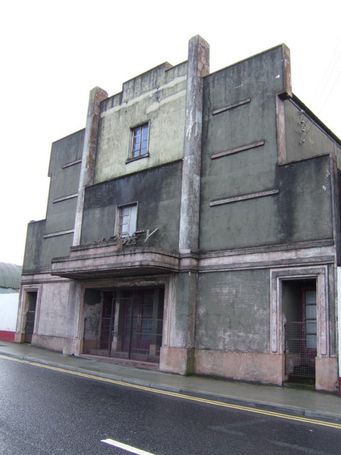 Abbey Cinemacinema · 1253 yd
 Purt CastleCastle · 1.6 mi
 Barnagh HillMountain / peak · 4.3 mi
 TobereenalaffinaSpring · 4.7 mi
 Sugar HillMountain / peak · 5.8 mi
 Three CountiesPicnic place · 7.1 mi
 Glenquin CastleCastle · 7.5 mi
 John B. KeaneMemorial · 8.8 mi
 Holocaust MemorialMemorial · 8.8 mi