What is recorded here
Knockbrack held a thirty-metre earthen ring on a steep slope, visible on the 1841 map but now levelled into pasture. The land swallowed the fort, perhaps through ploughing or neglect, erasing the very boundary that once shaped the hill. What remains is a absent circle, remembered only through the line drawn decades before it vanished.
In pasture, on steep WSW-facing slope. Monument, depicted as embanked circular enclosure (diam. c. 30m) on 1841 OS 6-inch map, has been levelled. No trace of monument evident when inspected.
Compiled by: Denis Power
Date of upload: 26 August 2011
The monument record does not grant public access. Check the route and ask the landowner before entering private land.
- What survives
- Recorded monument
Places near here
 Enclosure in KnockbrackEnclosure · 329 yd
 BarrowBarrow, ring-barrow · 576 yd
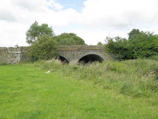 bridgebridge · 955 yd
 Allaghaun Bridgebridge · 1208 yd
 Purt CastleCastle · 1.2 mi
 Barnagh HillMountain / peak · 4.6 mi
 TobereenalaffinaSpring · 5.0 mi
 CastleCastle, tower house · 7.3 mi
 Three CountiesPicnic place · 7.5 mi
 John B. KeaneMemorial · 8.4 mi
 Holocaust MemorialMemorial · 8.4 mi
 Kerry Writers' MuseumMuseum · 8.9 mi