What is recorded here
Knockbarry holds a circular earthen fort thirty-eight metres across, marked by a low western rise and a sharper eastern scarp. It sits on a gentle south-facing slope in open pasture, exposing its shape to sunlight and rain. The site has watched herds, storms and forgotten foottraffic for centuries. Its plain boundary still divides inside from outside, waiting for someone to walk the rim and remember the shape.
In pasture, on gentle S-facing slope. Circular area (38.7m N-S; 37.3m E-W) enclosed by slight rise W->E; scarp (H 0.9m) elsewhere.
The above description is derived from the published 'Archaeological Inventory of County Cork. Volume 4: North Cork' (Dublin: Stationery Office, 2000). In certain instances the entries have been revised and updated in the light of recent research.
Date of upload/revision: 14 January 2009
The monument record does not grant public access. Check the route and ask the landowner before entering private land.
- What survives
- Recorded monument
Places near here
 Fulacht FiadhFulacht fia · 509 yd
 Fulachta FiadhFulacht fia · 792 yd
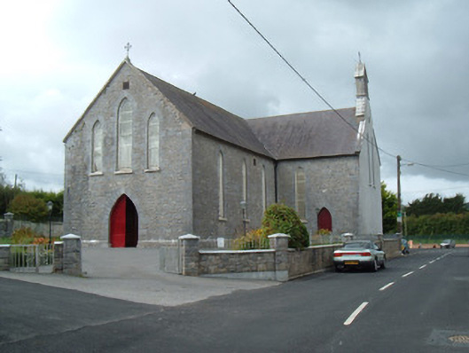 Saint Joseph's Churchchurch/chapel · 891 yd
 Ch (in Rns)Church · 961 yd
 Battle of LiscarrollMajor battlefield · 992 yd
 Liscarroll CastleCastle · 1097 yd
 Lady's WellSpring · 2.8 mi
 Lisgriffin CastleCastle · 2.8 mi
 Churchtown TrailsVisitor information · 3.1 mi
 Windmill HillMountain / peak · 3.2 mi
 Ballyhoura WayWalking route · 4.3 mi
 European YewEuropean Yew · 5.6 mi