What is recorded here
Knockannacreeva holds a circular earthen ring, thirty metres across and one metre high, cut into a gentle south-facing slope. The interior dips slightly, shaping a small bowl where shadow gathers at dusk. A larger low mound sits ten metres outside the northern edge, blending into the ground as if the earth exhaled rather than a hand built it. Cattle still move through the pasture above the marks, unaware they walk across a boundary drawn before human memory.
In pasture, on gently S-facing slope. Roughly-circular area (32.2m N-S; 33.1m E-W) enclosed by earthen bank (H 1m). Interior slightly concave in profile. To NNE, c. 10m outside edge of enclosure, is low mound (diam. c. 20m; max. H c. 1m) merging with slope of ground to N; this latter possibly a natural feature.
Compiled by: Denis Power
Date of upload: 26 August 2011
The monument record does not grant public access. Check the route and ask the landowner before entering private land.
- What survives
- Recorded monument
Places near here
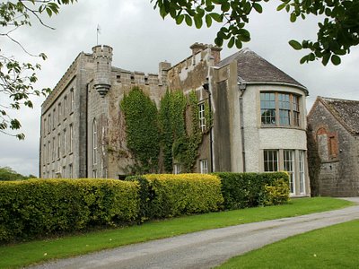 Enclosure in Harding GroveEnclosure · 1041 yd
 Patricks WellHoly well · 1138 yd
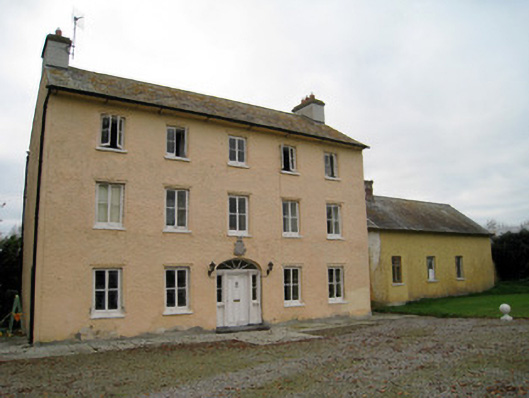 Cooleen Housebridge, country house · 1.2 mi
 Church (in ruins)Church · 1.3 mi
 Athlacca Ho. (in ruins)Castle, unclassified · 2.3 mi
 Bruree Castle Lower (in ruins)Castle, Anglo-Norman masonry castle · 2.4 mi
 European ashEuropean ash · 3.9 mi
 KnockfeerinaMountain / peak · 4.3 mi
 Biodiversity in the Maigue CatchmentVisitor information · 4.5 mi
 Monasteranenagh AbbeyHeritage attraction · 4.7 mi
 Saint Derivla's WellSpring · 4.7 mi
 Kinnoor WellSpring · 4.8 mi