What is recorded here
Fairy fort / earthen ringfort in Knockalton Upper is a fairy fort or earthen ringfort in Knockalton Upper, County Tipperary, Ireland. It occupies a circular area measuring 36.5 metres north-south and 35.8 metres east-west on a northwest-facing pasture slope. The site contains a denuded earth and stone bank, a wide deep fosse, an outer bank and a possible much denuded third bank in the northwest quadrant, but no visible entrance feature. The outer bank has been broken through at the east, allowing silage to overspill into the fosse from an adjacent silage pit.
Situated on a NW-facing slope in pasture. A circular area (diam. 36.5m N-S; 35.8m E-W) sloping gently to the N, defined by a denuded earth and stone bank (Wth 3.8m; int. H 0.52m; ext. H 2.09m), a wide, deep fosse (Wth 7m; D 2.3m) and an outer bank (Wth 3.85m). A possible, much denuded, third bank is visible in the NW quadrant (Wth 4m; int. H 1.18m; ext. H 0.4m). No visible entrance feature. The outer (second) bank has been broken through at E allowing silage to overspill into the fosse from an adjacent silage pit.
The above description is derived from 'The Archaeological Inventory of County Tipperary. Vol. 1 - North Tipperary' compiled by Jean Farrelly and Caimin O'Brien (Dublin: Stationery Office, 2002). In certain instances the entries have been revised and updated in the light of recent research.
Date of upload/revision: 22 September 2008
The monument record does not grant public access. Check the route and ask the landowner before entering private land.
- What survives
- Recorded monument
Places near here
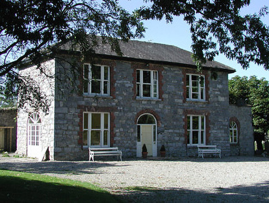 Knockalton Househouse · 823 yd
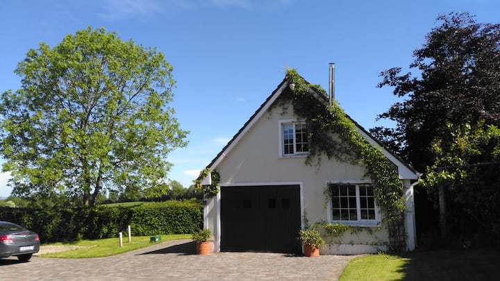 LisatunnyFairy fort / earthen ringfort · 1048 yd
 LissatunnyArchaeological place · 1069 yd
 Lisbunny ChurchChurch · 1721 yd
 Lisbunny CastleCastle, hall-house · 1.0 mi
 Gibbet HillMountain / peak · 1.1 mi
 Ballintotty Castle (in ruins)Castle, tower house · 1.3 mi
 Old BarracksHeritage attraction · 1.9 mi
 Nenagh Heritage CentreMuseum · 2.0 mi
 James Devaney MemorialMemorial · 3.3 mi
 Sweet ChestnutSweet Chestnut · 4.3 mi
 Knockacraheen HillMountain / peak · 4.4 mi