What is recorded here
Fairy fort / earthen ringfort in Kiltycahill is a fairy fort or earthen ringfort in Kiltycahill, County Sligo, Ireland. It occupies the level summit of an east-west ridge in pasture and contains a raised circular area about twenty-two metres across. A broad bank of earth and stone encloses the space, while a shallow fosse runs along the external foot where it remains visible. Field boundary banks link to the structure at several points, and thorn bushes now fill the interior.
Situated on level summit of an E-W orientated ridge in pasture. Raised circular area (diam. c.22m) enclosed by a broad bank of earth and stone (Wth 3.85m; int. H 0.3-0.5m). At the external foot of the bank is a fosse (Wth 4.65m; D 0.3m). From W-SE the bank is mostly denuded and difficult to trace being better preserved and consistent elsewhere. From ENE-NW the fosse is absent. A NNE-WSW orientated field boundary bank lies along the line of the fosse ENE-SE. Field boundary banks link to the bank of the rath at ENE, NE and SE. The original entrance is not recognisable. The interior is densely overgrown with thorn bushes.
Compiled by: Patrick F. O'Donovan
Date of upload: 21 April 2011
The monument record does not grant public access. Check the route and ask the landowner before entering private land.
- What survives
- Recorded monument
Places near here
 Enclosure in Hazelwood DemesneEnclosure · 374 yd
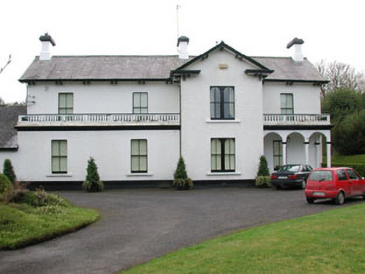 Ballyglass Househouse · 1053 yd
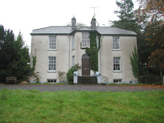 Colgagh Househouse · 1057 yd
 Enclosure in KiltycahillEnclosure · 1232 yd
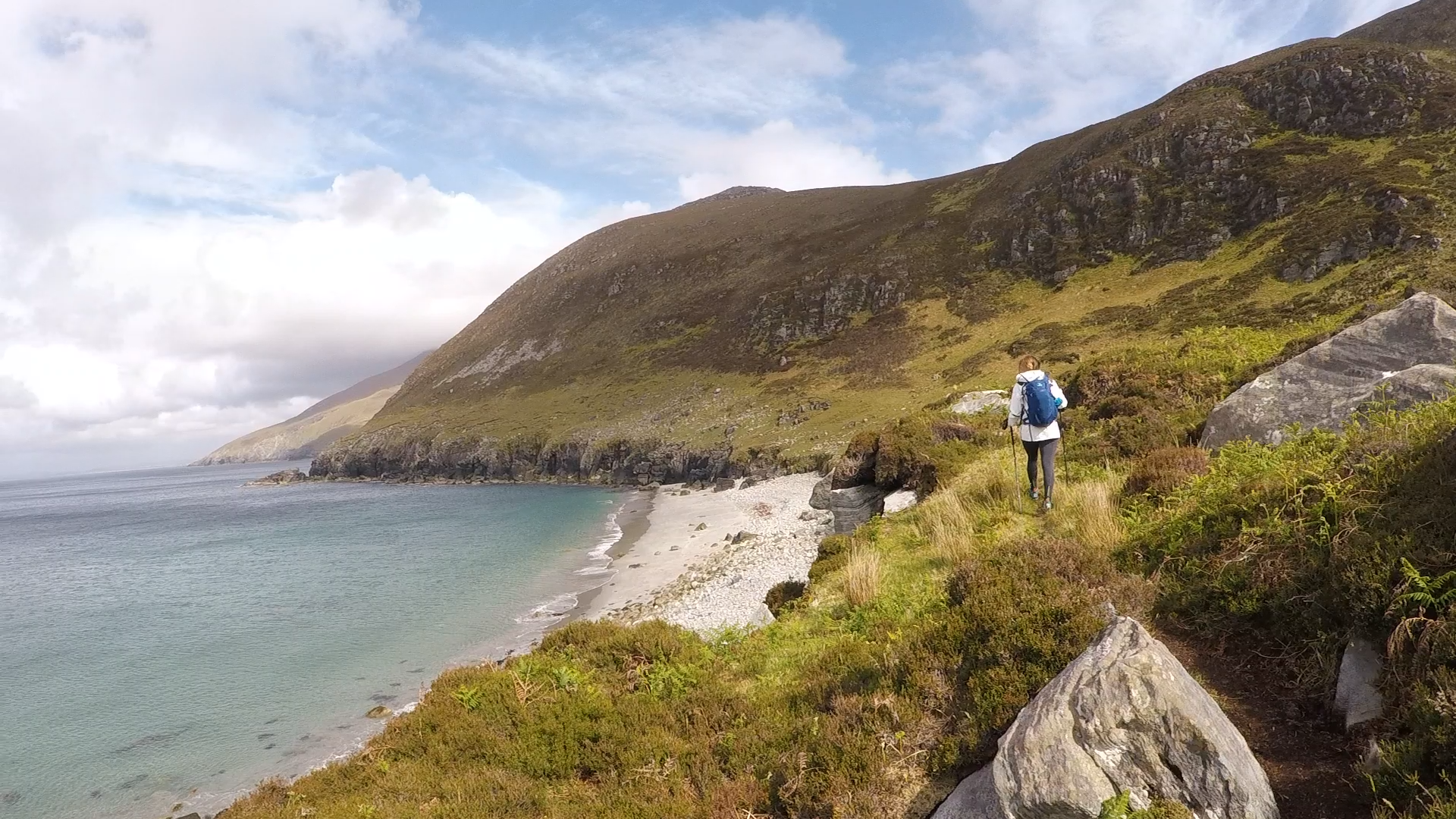 Annagh BayBay · 1609 yd
 Annagh IslandIsland · 1712 yd
 Legganore BayBay · 1.2 mi
 Castle PointCastle, unclassified · 1.2 mi
 HazelwoodWood · 1.3 mi
 Pearl RockIslet · 1.4 mi
 Holm OakHolm Oak · 1.5 mi
 Court Tomb TrailWalking route · 1.7 mi