What is recorded here
On a slight rise of ground with good views to the E. Ringfort (WM033-065----) 210m to the W, and second ringfort (WM033-061----) 370m to the NNE. Oval-shaped area (diam. 55m N-S; 64m NW-SE) defined by a substantial earthen bank covered in trees and bushes and wide flat-bottomed fosse with low external bank. The inner bank and fosse are best preserved from W-N-NE. The banks have been levelled and fosse filled in from E-S-SSW. No indication of an original entrance feature.
Compiled by: Caimin O’Brien
Date of upload: 25 July 2013
The monument record does not grant public access. Check the route and ask the landowner before entering private land.
- What survives
- Recorded monument
Places near here
 Partially indicatedFairy fort / earthen ringfort · 800 yd
 Enclosure in OldtownEnclosure · 857 yd
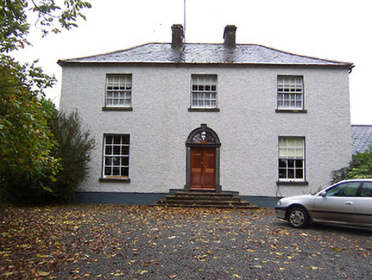 Far View Househouse · 1.1 mi
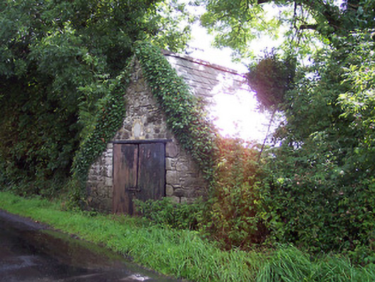 The Forgeforge/smithy · 1.2 mi
 CastleCastle, hall-house · 1.4 mi
 Castlelost MoatCastle, motte and bailey · 1.7 mi
 Derrygreenagh HillMountain / peak · 3.3 mi
 Croghan HillMountain / peak · 4.2 mi
 Knockdrin HillMountain / peak · 4.3 mi
 Finnrenashark Holy WellSpring · 4.4 mi
 Croghan Hill WalkVisitor information · 4.5 mi
 Ardan WoodWood · 5.0 mi