What is recorded here
Fairy fort / earthen ringfort in Kiltotan and Collinstown is a fairy fort or earthen ringfort in Kiltotan and Collinstown, County Westmeath, Ireland. This oval-shaped enclosure, measuring 55 metres north to south and 64 metres northwest to southeast, is defined by a substantial earthen bank covered in trees and bushes alongside a wide flat-bottomed fosse with a low external bank. The inner bank and fosse are best preserved from the west through north to northeast, while the banks have been levelled and the fosse filled in from the east through south to south-southwest. No indication of an original entrance feature was found on this slight rise of ground, which offers good views to the east.
On a slight rise of ground with good views to the E. Ringfort (WM033-065----) 210m to the W, and second ringfort (WM033-061----) 370m to the NNE. Oval-shaped area (diam. 55m N-S; 64m NW-SE) defined by a substantial earthen bank covered in trees and bushes and wide flat-bottomed fosse with low external bank. The inner bank and fosse are best preserved from W-N-NE. The banks have been levelled and fosse filled in from E-S-SSW. No indication of an original entrance feature.
Compiled by: Caimin O’Brien
Date of upload: 25 July 2013
The monument record does not grant public access. Check the route and ask the landowner before entering private land.
- What survives
- Recorded monument
Places near here
 Partially indicatedFairy fort / earthen ringfort · 800 yd
 Enclosure in OldtownEnclosure · 857 yd
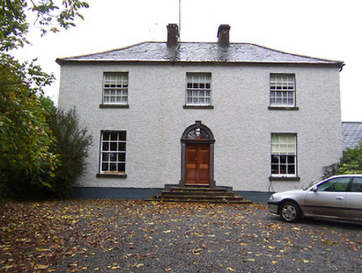 Far View Househouse · 1.1 mi
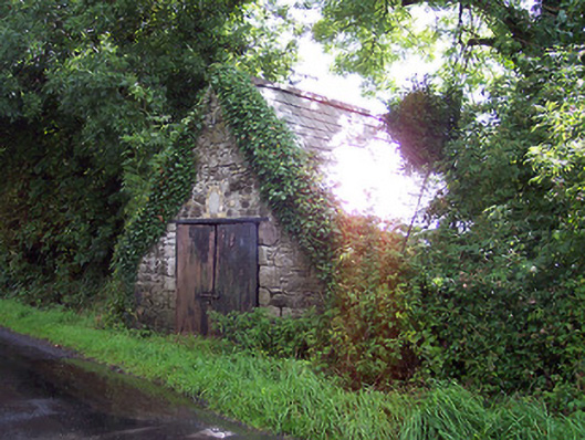 The Forgeforge/smithy · 1.2 mi
 CastleCastle, hall-house · 1.4 mi
 Castlelost MoatCastle, motte and bailey · 1.7 mi
 Derrygreenagh HillMountain / peak · 3.3 mi
 Croghan HillMountain / peak · 4.2 mi
 Knockdrin HillMountain / peak · 4.3 mi
 Finnrenashark Holy WellSpring · 4.4 mi
 Croghan Hill WalkVisitor information · 4.5 mi
 Ardan WoodWood · 5.0 mi