What is recorded here
Fairy fort / earthen ringfort in Kiltotan and Collinstown is a fairy fort or earthen ringfort in Kiltotan and Collinstown, County Westmeath, Ireland. Situated on the gentle north-northeast to south-southwest slope of a low rise with good views in all directions, the site was hachured as a large oval-shaped enclosure on the 1837 edition Ordnance Survey 6-inch map. A 1976 account described the roughly circular area, measuring 75 metres east to west, as defined by an earthen bank and external fosse, with a small causeway at the north that may be an original entrance feature. The levelled monument was bisected by a 19th-century field boundary, and only the cropmark of the ringfort is visible on the 2005 Ordnance Survey of Ireland aerial photograph.
In pasture, on gentle NNE-SSW slope of low rise of ground with good views in all directions. Ringfort (WM033-066----) 370m to the SSW. Only the cropmark of a levelled ringfort is visible on the 2005 OSI aerial photograph. Hachured as a large oval-shaped enclosure on the 1837 ed. OS 6-inch map. Monument described in 1976 as a roughly circular-shaped area (diam. 75m E-W) defined by an earthen bank and external fosse which are best preserved at N and are barely visible elsewhere. There is a small causeway across the fosse at N which may be an original entrance feature. The ringfort was bisected by a 19th century field boundary running NW-SE. The field to the S of this field boundary was in tillage in 2005, while the field to the N is in pasture.
Compiled by: Caimin O’Brien
Date of upload: 25 July 2013
The monument record does not grant public access. Check the route and ask the landowner before entering private land.
- What survives
- Recorded monument
Places near here
 Enclosure in OldtownEnclosure · 367 yd
 Fairy fort / ringfort in GneevebaneFairy fort / ringfort · 992 yd
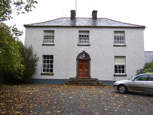 Far View Househouse · 1577 yd
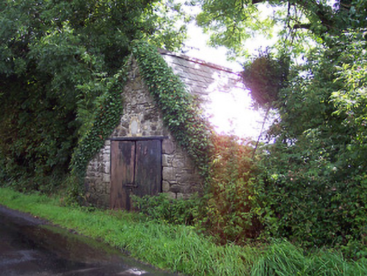 The Forgeforge/smithy · 1669 yd
 Castlelost MoatCastle, motte and bailey · 1.5 mi
 CastleCastle, hall-house · 1.5 mi
 Derrygreenagh HillMountain / peak · 3.1 mi
 Knockdrin HillMountain / peak · 4.2 mi
 Croghan HillMountain / peak · 4.2 mi
 Finnrenashark Holy WellSpring · 4.4 mi
 Croghan Hill WalkVisitor information · 4.5 mi
 Mollie Moo's Pet FarmHeritage attraction · 5.1 mi