What is recorded here
In generally level pasture. Roughly circular raised area (dims c. 32m NW-SE; c. 32m NE-SW) defined by earthen bank (Wth c. 5.85m; int H c. 0.25m; ext H c. 1-1.5m). External fosse (Wth c. 3m; D 0.6m). Covered/defined by thorn trees W-N-NE. Enclosure (TS067-032----) located c. 800m to WSW.
Compiled by: Jean Farrelly
Date of upload: 26 August 2011
The monument record does not grant public access. Check the route and ask the landowner before entering private land.
- What survives
- Recorded monument
Places near here
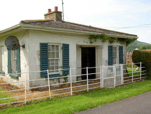 Arraghsleagate lodge · 259 yd
 Kilshane Churchchurch/chapel · 262 yd
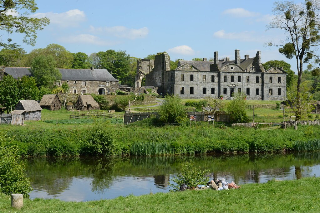 Enclosure in Lacken (cordangan Par.)Enclosure · 930 yd
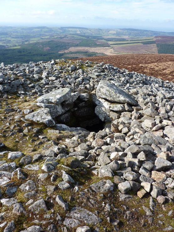 Site of Seefin CastleCastle, unclassified · 1035 yd
 Sunday WellHoly well · 1155 yd
 IndicatedBawn · 1543 yd
 Bansha ForestForest · 1.2 mi
 European ashEuropean ash · 1.6 mi
 I.R.A. 3rd. Tipperary Brigade MemorialMemorial · 1.7 mi
 It's a long way to TippereryHeritage attraction · 2.2 mi
 The Maid of ErinMemorial · 2.3 mi
 The RockViewpoint · 2.4 mi