What is recorded here
Kilpeacon held a massive forty-six-metre earthen ring before human arrogance erased it. O'Kelly found only flat soil in 1942, proving that even great local markers surrender to forgetting when stopped tending them. The land keeps what egotism cannot control, but it reclaims what egotism abandons.
Fort described in 1942-3 as following; 'This structure has been levelled flat and it is not now possible to say what it looked like. There is no trace of a fosse. The overall diameter seems to have been about 150' [46m]' (O'Kelly 1942-3, 244). Not visible today on Digital Globe aerial coverage.
Compiled by: Caimin O'Brien
Date of upload: 9 March 2020
This remains an important historical record, but the official description says the monument is no longer visible or has been destroyed. The monument record does not grant public access. Check the route and ask the landowner before entering private land.
- What survives
- No visible remains or recorded as destroyed
Places near here
 St. Patricks WellHoly well · 342 yd
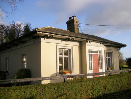 Kilpeacon Housegate lodge · 570 yd
 Grave YardGraveyard · 684 yd
 Saint Beacon's Church (Kilpeacon)church/chapel · 688 yd
 Villiers WellSpring · 1039 yd
 (Site of) Garryellen CastleCastle, unclassified · 1.1 mi
 Dotted outlineBawn · 1.1 mi
 Carnane RockNamed rock · 1.9 mi
 Monasteranenagh AbbeyHeritage attraction · 4.3 mi
 Biodiversity in the Maigue CatchmentVisitor information · 5.1 mi
 European ashEuropean ash · 5.3 mi
 Dysert AenghusaHeritage attraction · 5.9 mi