What is recorded here
Fairy fort in Kilmartin Lower stood atop a hill in County Cork, its thirty-five-metre circle mapping the land before modern fences replaced the ancient rampart. When field clearance levelled the earth around 1942, it did not erase the shape entirely; a slight hollow still marks the boundary where human hands first bent nature into a room. The fairies never left, perhaps, but they stopped needing walls because the living had already forgotten the fort existed.
In pasture, atop hill. Depicted as hachured, roughly circular enclosure (diam. c. 35m) on 1842, 1903 and 1938 OS 6-inch maps. Hartnett (1939, 194), describes a modern fence built on site of original rampart (diam. 120 ft). According to local information, levelled c. 1942 during field clearance. Slight hollow survives in area of site.
The above description is derived from the published 'Archaeological Inventory of County Cork. Volume 3: Mid Cork' (Dublin: Stationery Office, 1997). In certain instances the entries have been revised and updated in the light of recent research.
Date of upload/revision: 14 January 2009
A fairy fort or earthen ringfort in Kilmartin Lower is a roughly circular, hachured enclosure, likely dating to the early medieval period, with a diameter of approximately 35 meters. The site has been associated with local folklore surrounding fairies, and a modern fence built in the 20th century was noted to follow the line of its original rampart.
The monument record does not grant public access. Check the route and ask the landowner before entering private land.
- What survives
- Recorded monument
Places near here
 Man-made underground passage in Kilmartin LowerMan-made underground passage · 430 yd
 Saint Bartholomew's WellSpring · 687 yd
 St Bartholomews WellHoly well · 698 yd
 Dripsey Bridge (Lower)Bridge · 1.3 mi
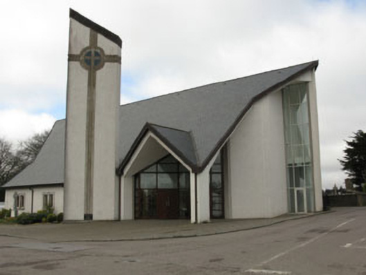 church/chapelchurch/chapel · 1.3 mi
 New TipperaryVisitor information · 2.3 mi
 Oldcastle WoodWood · 2.7 mi
 Knockduff Wind FarmVisitor information · 3.9 mi
 Carrignamuck Tower HouseCastle · 4.2 mi
 Mullinhassig WaterfallWaterfall · 4.4 mi
 Mullinhassig WoodWood · 4.4 mi
 Knockcraugh HillMountain / peak · 4.6 mi