What is recorded here
Fairy fort / earthen ringfort in Kilmainhamwood stands on a small NE-SW ridge above the Kilmainham stream, its grass-covered circle marked by an earthen bank that still rises two and a half metres on parts of the edge. The shape is broad enough to hold a dozen people turning in a ring, yet has no clear gate or ditch, as if someone drew a line in the earth and stopped. It overlookes water and fields, which is all such a place needs to remain memorable.
Situated on a rise that is on a small NE-SW ridge overlooking the NW-SE Kilmainham stream, which is c. 140m to the SW at the closest point. This is a raised circular and grass-covered area (diam. 34.3m NW-SE; c. 31m NE-SW) defined by an earthen bank (Wth of base 5.1m; int. H 0.3m; ext. H 2.5m) ESE-W-NW, that is reduced to a scarp (at NNE: Wth 3.2m; H 3m) with a stone-faced field bank at the base elsewhere. There is no visible fosse or identifiable original entrance.
The above description is derived from the published 'Archaeological Inventory of County Meath' (Dublin: Stationery Office, 1987). In certain instances the entries have been revised and updated in the light of recent research.
Compiled by: Michael Moore
Date of revision: 3 September 2018
The monument record does not grant public access. Check the route and ask the landowner before entering private land.
- What survives
- Recorded monument
Places near here
 Font in KilmainhamwoodFont · 80 yd
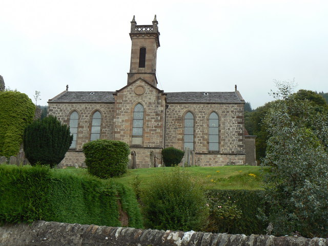 Site of Kilmainhamwood Parish ChurchArchaeological place · 102 yd
 Catholic Church of the Sacred Heartchurch/chapel · 283 yd
 presbytery/parochial/curate's housepresbytery/parochial/curate's house · 299 yd
 GNR Christmas TreesForest · 1.1 mi
 Miltown GlenWood · 1.2 mi
 Castkecome RuinsCastle, unclassified · 2.1 mi
 Gallows HillMountain / peak · 2.6 mi
 UghtyneillMountain / peak · 3.0 mi
 MoatCastle, motte and bailey · 3.1 mi
 Nobber GreenwayMemorial · 3.3 mi
 Fair of MuffMemorial · 4.4 mi