What is recorded here
Identified on an aerial photograph (GSI roll 43, print 35) this is a circular enclosure (diam. c. 28m) defined by traces of a slight bank and shallow outer fosse.
Compiled by: Jean Farrelly
Date of upload: 7 February 2018
The monument record does not grant public access. Check the route and ask the landowner before entering private land.
- What survives
- Recorded monument
Places near here
 Enclosure in KilloshulanEnclosure · 269 yd
 TempleclashshibaunChurch · 490 yd
 Killoshulan Castle (ruin)Castle · 525 yd
 Clomantagh Lower RingfortArchaeological place · 1120 yd
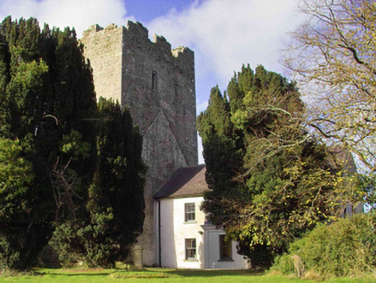 farm housefarm house · 1668 yd
 CastleCastle, tower house · 1680 yd
 Clomantagh HillMountain / peak · 1.5 mi
 Kildrinagh WoodForest · 3.1 mi
 John HelyMemorial · 3.4 mi
 DelaneyMemorial · 3.5 mi
 Street fieldArchaeological place · 3.9 mi
 Anker's IslandIsland · 7.1 mi