What is recorded here
Internal diam. 20.8m N-S
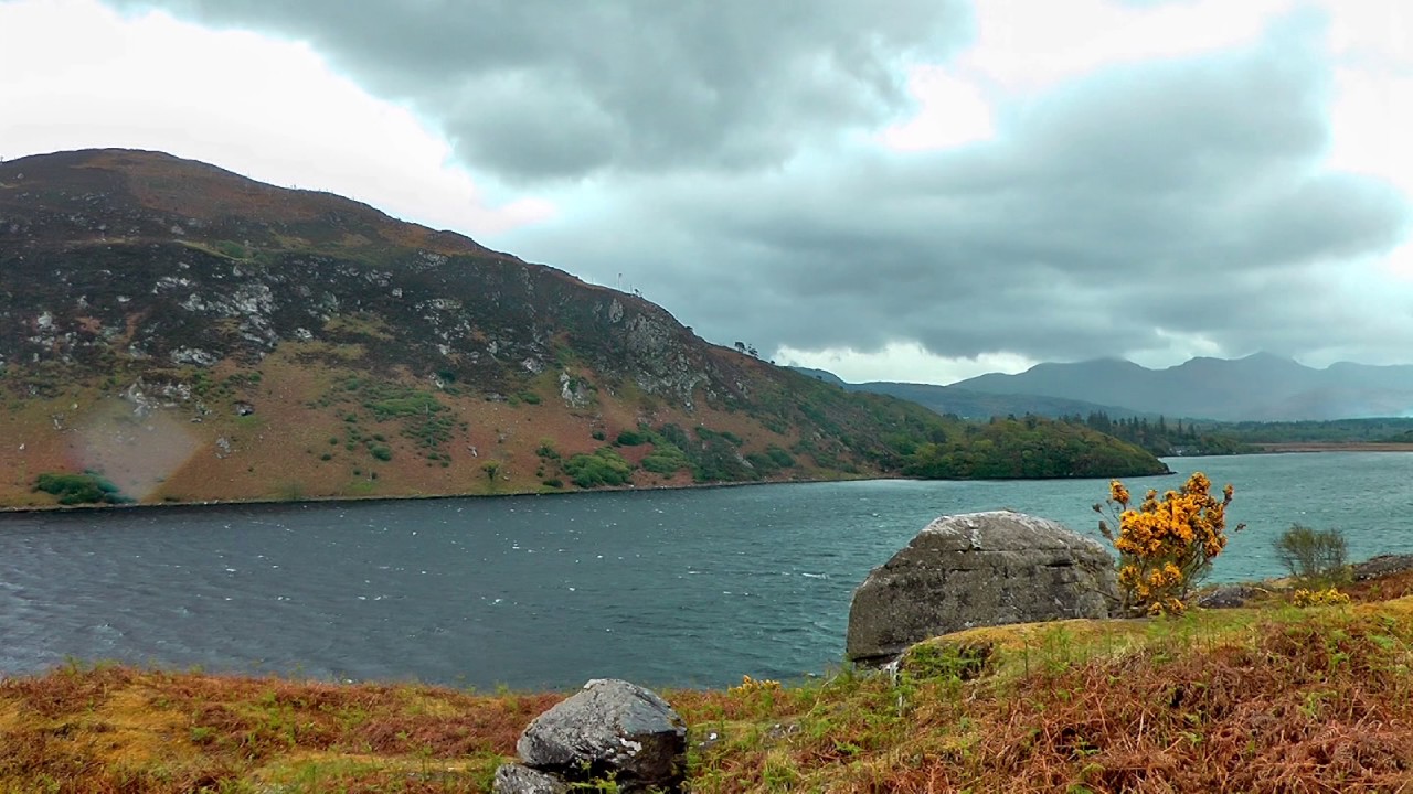
This site is located in rough upland pasture at the head of the Oghermong river valley, overlooking Valencia Harbour to W. A roadway cuts through it and has levelled its NE sector. Elsewhere the site is defined by a gently sloping platform of roughly circular plan which is enclosed by a low bank surviving up to .7m high. Intermittent stretches of drystone facing, sections of which have collapsed, revet the bank. Two possible entrances to the monument survive at ESE and SW. A number of low amorphous mounds occur in the N half of its interior. There is no trace of the 'Gallaun' (KE079-091002-) depicted on the OS maps in the rath's interior at E.
The above description is derived from A. O'Sullivan and J. Sheehan (compilers), 'The Iveragh peninsula: an archaeological survey of South Kerry'. Cork University Press (1996), no. 526. In certain instances the entries have been revised and updated in the light of recent research.
Date of upload: 29 July 2013
This remains an important historical record, but the official description says the monument is no longer visible or has been destroyed. The monument record does not grant public access. Check the route and ask the landowner before entering private land.
- What survives
- No visible remains or recorded as destroyed
Places near here
 CaherFairy fort / stone ringfort · 569 yd
 IndicatedEcclesiastical enclosure · 682 yd
 Laharn Bog LoopWalking route · 1.1 mi
 RoadRoad, road/trackway · 1.4 mi
 FoilcloghMountain / peak · 1.4 mi
 Mc Crehins Castle (Site of)Castle, unclassified · 1.4 mi
 BenteeMountain / peak · 1.6 mi
 Carhan Househouse · 2.3 mi
 CastleCastle, unclassified · 2.5 mi
 Foughil IslandIslet · 3.2 mi
 Ballycarbery CastleRuins · 3.6 mi
 White Strand BeachBeach / strand · 4.1 mi