What is recorded here
Fairy fort / earthen ringfort in Killiaghan AND Gort is a fairy fort or earthen ringfort in Killiaghan AND Gort, County Roscommon, Ireland. The D-shaped grass-covered area measures 33 metres north-south and 25 metres east-west, bounded by an earth and stone bank reaching 1.35 metres externally. A rath stands 130 metres northeast, a cashel appears 110 metres south-southwest, and a field system lies 90 metres east.
Visible as a circular feature on aerial photographs (GSIAP: M 222-3), and situated on a gentle ENE-facing slope. Subrectangular or D-shaped grass-covered area (dims 33m N-S; c. 25m E-W) defined by a grass-covered earth and stone bank (at E: Wth 5.2m; int. H 0.25m; ext. H 1.35m), with traces of outer facing-stones NNE-ENE. There is no visible fosse or identifiable original entrance and the perimeter is truncated by a NW-SE field wall at SW. Lazy-beds and a fragment of a grass-covered field wall survive in the interior. Rath (RO045-108001-) is c. 130m to the NE, cashel (RO045-111----) is c. 110m to the SSW, and field system (RO045-109----) is c. 90m to the E.
Compiled by: Michael Moore
Date of upload: 24 August 2010
The monument record does not grant public access. Check the route and ask the landowner before entering private land.
- What survives
- Recorded monument
Places near here
 IndicatedBawn · 307 yd
 Carnagh West RingfortArchaeological place · 1156 yd
 Kilcommon ChurchChurch · 1301 yd
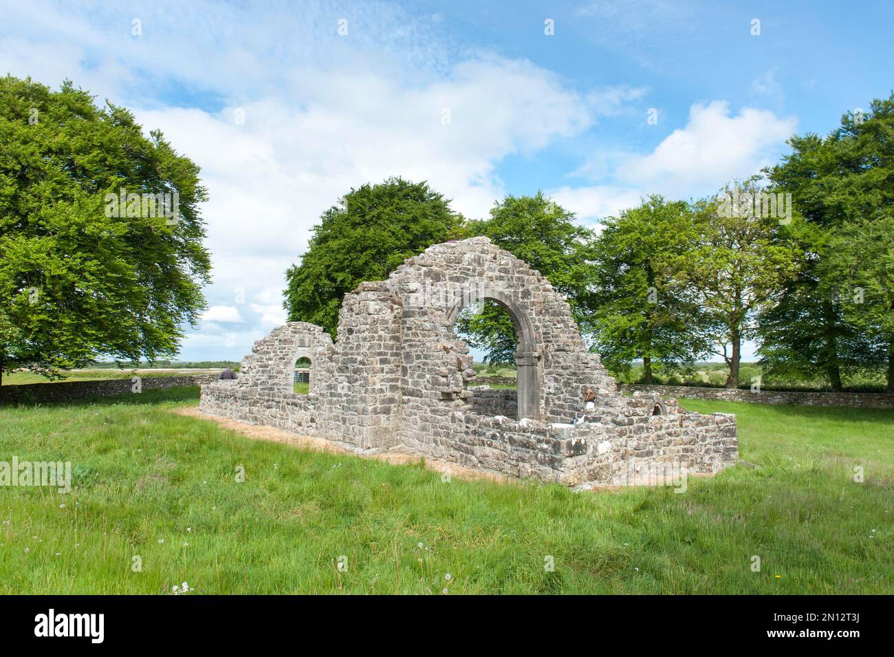 Embanked enclosureFairy fort / earthen ringfort · 1349 yd
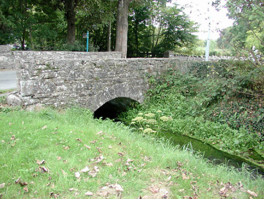 Historic buildingOfficially recorded historic building · 1.6 mi
 Kilmore BayBay · 1.7 mi
 Carrownure BayBay · 2.0 mi
 InchihicleleyIslet · 2.3 mi
 InchmoreIslet · 2.4 mi
 Rindown CastleCastle, Anglo-Norman masonry castle · 2.4 mi
 RindoonWood · 2.4 mi
 St. John's WoodWood · 2.8 mi