What is recorded here
Half a kilometre east of Killeen, a two-metre earthen bank still closes a thirty-eight-metre circle on a south-facing pasture slope. Its southern gap has a stone causeway, and a broken stone mound lies inside the southeast, perhaps the remains of a roofed chamber. People may have lived there before the field swallowed the name, but the ring itself still keeps its shape against the hill.
In pasture, on S-facing slope. Circular area (38m N-S) enclosed by earthen bank (H 2.3m), with external fosse (D 1.2m). Stone-faced break in bank (Wth 3.5m) to S, with causeway. Interior raised on S side to compensate for hillslope. Low mound of stone rubble (10m E-W; 7.6m N-S) in SE quadrant possible remains of collapsed structure.
The above description is derived from the published 'Archaeological Inventory of County Cork. Volume 1: West Cork' (Dublin: Stationery Office, 1992). In certain instances the entries have been revised and updated in the light of recent research.
Date of upload/revision: 14 January 2009
The monument record does not grant public access. Check the route and ask the landowner before entering private land.
- What survives
- Recorded monument
Places near here
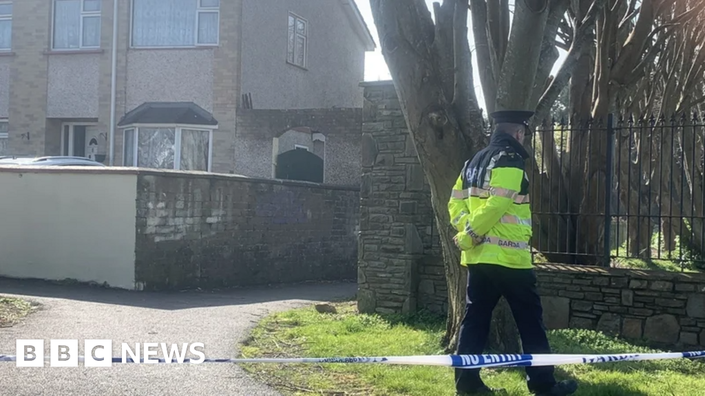 IndicatedFairy fort / earthen ringfort · 608 yd
 Burial ground in Kill SouthBurial ground · 851 yd
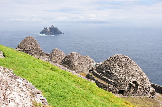 Keel MonasteryRuins · 1476 yd
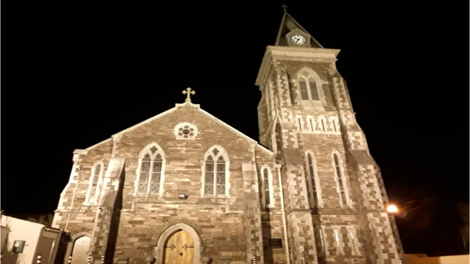 R. C. ChapelChurch · 1.1 mi
 Castle DerryCastle · 1.1 mi
 The GlenWood · 2.2 mi
 Corran HillMountain / peak · 2.4 mi
 Tobar MacloonaboySpring · 2.4 mi
 Battle of the Big Cross (1798) Memorial MonumentMonument · 3.2 mi
 Fahanacowley Castle (Site of)Castle, unclassified · 3.4 mi
 English hollyEnglish holly · 3.9 mi
 Graveyard in KilmalodaGraveyard · 4.0 mi