What is recorded here
Half a hundred metres across, the earth itself rose into a wall, thick enough to swallow a cart and tall enough to hide a person standing inside. The ditch cut around it like a knife through grass, and the eastern gap remained narrow, forcing every visitor to enter single file rather than ride through in pride. People may have lived within that circle, hearing wind move through the ditch and watching shadow lengthen across the bank at dusk. The fairies never appeared, but the shape still belonged to them in the minds of those who passed it, a reminder that some places keep human life and mysterious story in the same breath.
A circular area (diam. c. 49m) defined by a bank (Wth c. 6m, ext. H c. 3.5-4m) and external fosse (Wth c. 7m). Possible original entrance (Wth c. 3.75m) at E. Cropmark of an enclosure (LA023-019002-)) lies immediately to SE.
The above description is derived from the published 'Archaeological Inventory of County Laois' (Dublin Stationery Office, 1995) compiled by P. David Sweetman, Olive Alcock and Bernie Moran. In certain instances the entries have been revised and updated in the light of recent research.
Date of upload: 17 December 2007
The monument record does not grant public access. Check the route and ask the landowner before entering private land.
- What survives
- Recorded monument
Places near here
 Enclosure in KilleanyEnclosure · 1 yd
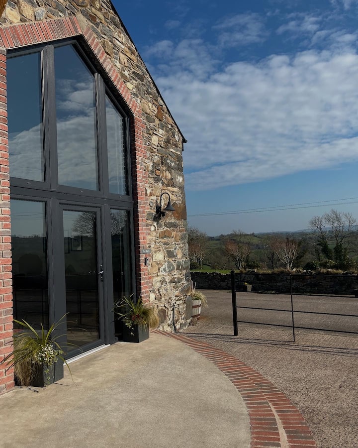 Enclosure in Shanahoe,springmountEnclosure · 1193 yd
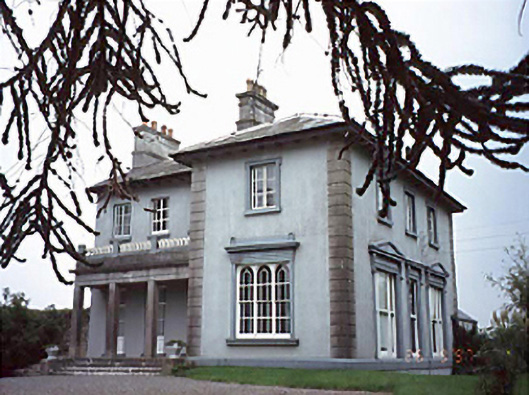 Shanahoe Househouse · 1220 yd
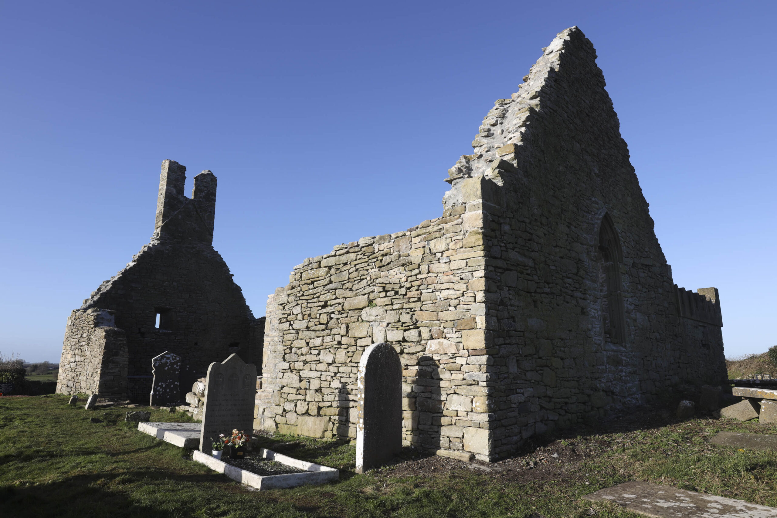 Church in Camcloon (upperwoods By.)Church · 1508 yd
 Scotch RathHouse, fortified house · 1585 yd
 Killeany Castle (ruins)Castle · 1.0 mi
 Birchfield PlantationForest · 2.9 mi
 Sitka SpruceSitka Spruce · 3.0 mi
 Abbeyleix Heritage CentreMuseum · 3.8 mi
 Knocknamoe HouseMemorial · 3.8 mi
 Anker's IslandIsland · 8.4 mi
 Enclosure in ScotchrathEnclosure · 1199 yd