What is recorded here
Situated on the W facing slope of a low hillock in undulating countryside. Circular area (diam 44m E-W) enclosed by a poorly preserved earth and stone bank (Wth 1m; ext. H 1.5m; int. H 0.5m) reduced in places to a scarp with slight traces of an external fosse with no evidence of an entrance feature.
The above description is derived from the published 'Archaeological Inventory of County Offaly' (Dublin: Stationery Office, 1997). In certain instances the entries have been revised and updated in the light of recent research.
Date of upload: 23 May 2011
The monument record does not grant public access. Check the route and ask the landowner before entering private land.
- What survives
- Recorded monument
Places near here
 Enclosure in Coole (eglish By.)Enclosure · 532 yd
 IndicatedFairy fort / earthen ringfort · 616 yd
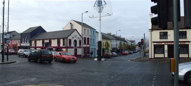 RoadRoad, class 3 togher · 1461 yd
 Killyon Abbey (in ruins)Bawn · 1523 yd
 Site of OCarrolls CastleCastle, unclassified · 1.1 mi
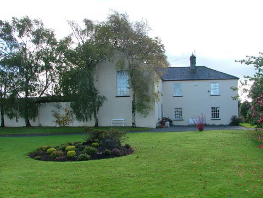 Clonbeale Housecountry house · 1.1 mi
 Woodville WoodWood · 3.2 mi
 Birr Heritage CentreMuseum · 3.3 mi
 Oriental planeOriental plane · 3.3 mi
 James Franklin FullerMemorial · 3.4 mi
 Waterfall PointViewpoint · 3.6 mi
 The Great Telescope 'Leviathan'Heritage attraction · 3.7 mi