What is recorded here
Killaliss holds a broad earthen ring where a broken causeway still points toward its entrance. The deep ditch has shallow now, but the bank remains tall enough to block the sky when rain drops inside. People may have lived within that circle before forgetting the name of the field.
Raised circular area (int. diam. 35.8m) enclosed by a very substantial earthen bank faced with apparently modern drystone walling from NW-NE, and a wide, deep, waterlogged fosse which has been largely levelled from SW-NW. A relatively modern bank runs outside the fosse from NNE-SE. Break in bank with accompanying causeway at SE represents original entrance.
The above description is derived from the published 'Archaeological Inventory of County Cavan' (Dublin: Stationery Office, 1995). In certain instances the entries have been revised and updated in the light of recent research.
Date of upload/revision: 22 December 2008
The monument record does not grant public access. Check the route and ask the landowner before entering private land.
- What survives
- Recorded monument
Places near here
 Knockbride Wet WoodlandWood · 514 yd
 Enclosure in KillalissEnclosure · 560 yd
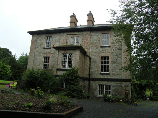 rectory/glebe/vicarage/curate's houserectory/glebe/vicarage/curate's house · 1087 yd
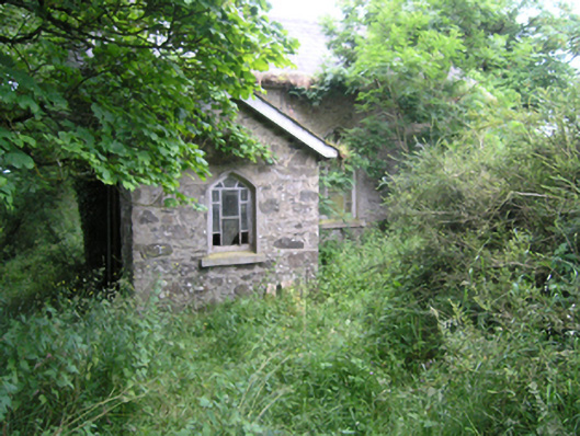 church/chapelchurch/chapel · 1328 yd
 Small IslandIsland · 1410 yd
 Grave YardGraveyard · 1664 yd
 White Lough WoodWood · 1.1 mi
 DrumeagueMountain / peak · 1.2 mi
 DrumbinnisMountain / peak · 1.7 mi
 Kilmacaran IslandIslet · 2.7 mi
 Bawn in Skeagh (clankee By.)Bawn · 2.7 mi
 Senator Billy Fox 1939 - 1974Memorial · 3.1 mi