What is recorded here
Killahurk holds a double-ringed earthwork at the northern tip of a drumlin spur, its inner bank steep and flat-topped while a water-logged fosse separates it from an outer ridge. The eastern entrance remains visible through both banks, though smaller dimensions there suggest later digging redirected soil into the inner wall. People may have lived inside, feared the dark space between, or simply followed the old line of the field; the earth still keeps the shape of that choice.
Situated at the N tip of a S-N spur of a drumlin. This is a grass and rush-covered circular area (int. diam. 37m E-W; 35.5m N-S) which is defined by two overgrown earthen banks and an intervening fosse (max. ext. diam. 84m N-S; 81.5m E-W). The inner bank is flat-topped (Wth of base 6.5-10.2m; Wth of top 2-3m) and steep-sided (int. H 1m at E to 2.2m at S; ext. H 3.2-3.6m), although it has been spread about SW-NW and ENE-SE. The outer bank varies in width (Wth of base 2.5m at S to 6m at N; ext. H 1-2m). The fosse (Wth of top 12.4-14.4m; Wth of base 3.7m at S to 7m at E; ext. D 0.5-1.2m) is flat-bottomed and water-logged in places with a berm (Wth 1-3m) separating it from the outer bank, except at W (total ext. D 1-1.6m S-W to 2.3-2.6m N-E). There is an entrance through the inner (Wth of base 3.4m) and outer (Wth of base 3.5m) banks and a causeway (Wth of top 4.5m) at ESE. In general, there are smaller dimensions on all features along the E side, and it is likely that the fosse has been re-dug at some time with the spoil added to the inner bank.
The above description is derived from 'The Archaeological Inventory of County Leitrim' compiled by Michael J. Moore (Dublin: Stationery Office, 2003). In certain instances the entries have been revised and updated in the light of recent research.
Compiled by: Michael Moore
Date of revised upload: 14 October 2019
The monument record does not grant public access. Check the route and ask the landowner before entering private land.
- What survives
- Recorded monument
Places near here
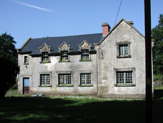 schoolschool · 877 yd
 Carrigallen Churchchurch/chapel · 931 yd
 European YewEuropean Yew · 1351 yd
 Mass-rock in Annagh (carrigallen By.)Mass-rock · 1680 yd
 King's GraveArchaeological place · 1695 yd
 St. Patricks WellHoly well · 1.3 mi
 DrumbreanlisMountain / peak · 1.6 mi
 Pedunculate OakPedunculate Oak · 2.3 mi
 CornaferstMountain / peak · 2.4 mi
 North Midland Transport CollectionMuseum · 4.8 mi
 Swan Island pet farmHeritage attraction · 4.8 mi
 Crane IslandIslet · 4.9 mi