What is recorded here
Kill South holds a broken ring where human hands and fairy trickery may have both shaped the earth. Its earthen bank still stands beside a stone fence, enclosing a small oval of grass that has watched herds pass for centuries. The northern gap invites entry rather than blocking it, as if the fort exists to be seen and remembered instead of defended.
In pasture, on S-facing slope. Circular area (26m N-S; 28m E-W) enclosed by earthen bank (H 1.3m) W->SSW; stone field fence SSW->W. Stone-faced break in bank to N (Wth 1.8m).
The above description is derived from the published 'Archaeological Inventory of County Cork. Volume 1: West Cork' (Dublin: Stationery Office, 1992). In certain instances the entries have been revised and updated in the light of recent research.
Date of upload/revision: 14 January 2009
The monument record does not grant public access. Check the route and ask the landowner before entering private land.
- What survives
- Recorded monument
Places near here
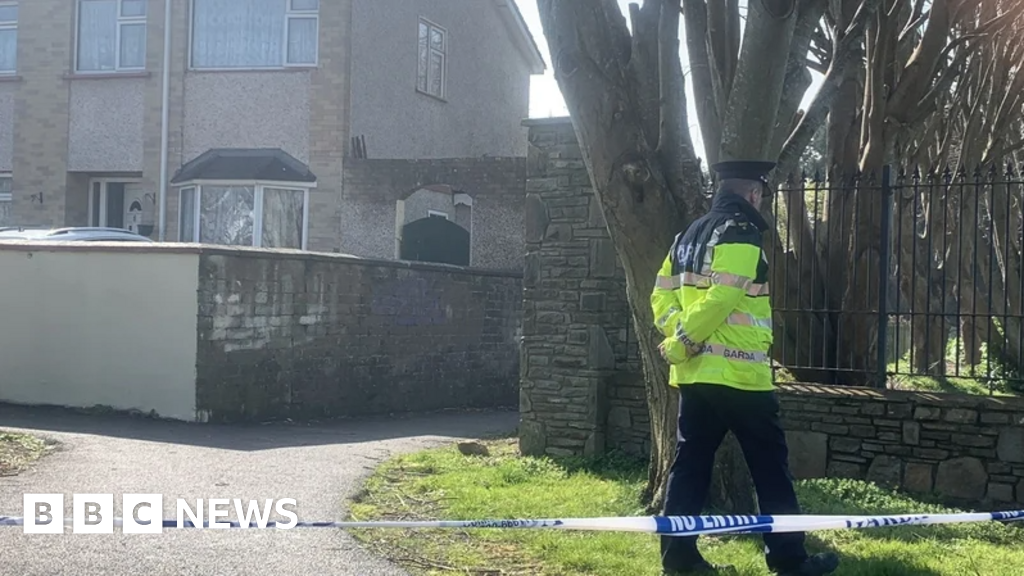 IndicatedFairy fort / earthen ringfort · 498 yd
 Burial ground in Kill SouthBurial ground · 543 yd
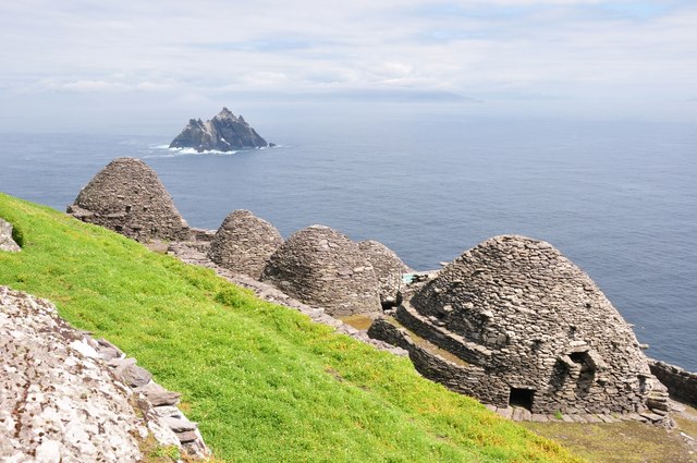 Keel MonasteryRuins · 1542 yd
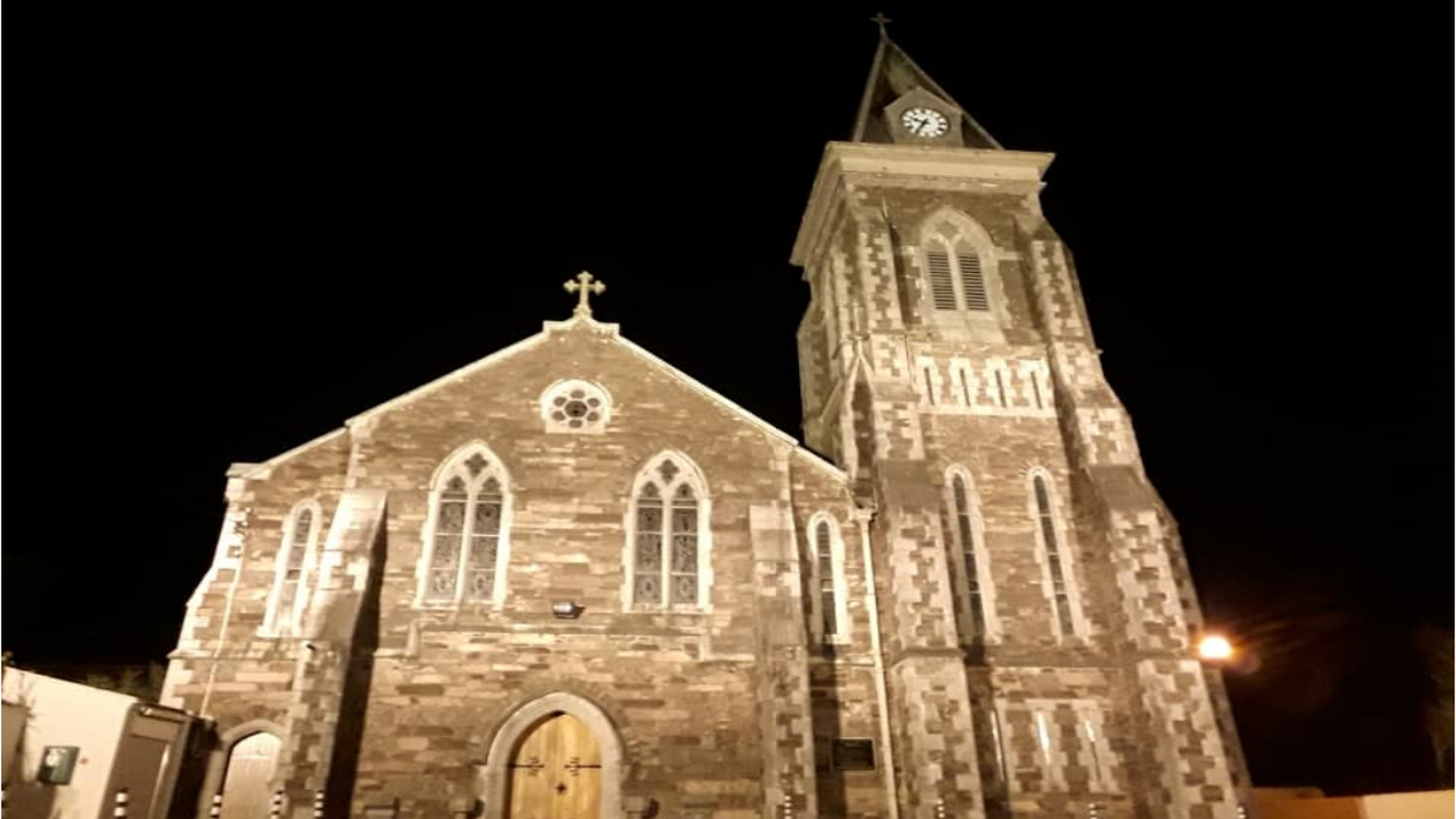 R. C. ChapelChurch · 1.1 mi
 Castle DerryCastle · 1.4 mi
 Tobar MacloonaboySpring · 2.2 mi
 The GlenWood · 2.5 mi
 Corran HillMountain / peak · 2.7 mi
 Battle of the Big Cross (1798) Memorial MonumentMonument · 2.9 mi
 Graveyard in KilmalodaGraveyard · 3.6 mi
 Fahanacowley Castle (Site of)Castle, unclassified · 3.7 mi
 Michael Collins CentreMuseum · 4.7 mi