What is recorded here
Kilfenora holds a forgotten ringfort where a hairpin of stones still marks the centre of a broken earth wall. Men called it a fairy fort because the shape defied ordinary sense, yet it may have been a human house, a boundary marker or a place for ritual. The precision of its building suggests someone understood the land well enough to make it remember.
The precise location of a possible ringfort with Man-made underground passage (LE028-099001-) in the townland of Kilfenora recorded in the Minute Book of County Kerry Field Club 02/09/1939 (Vol. 1, 38-9) has not been identified. The County Kerry Field Club recorded that; 'Mr. More then showed the secretary a small fort nearby on the lands of Mr. Clifford. This fort is about 30 yards in diameter and has the appearance of a line of souterrrain which broke down in two or three places. it was not open however. In the centre of the fort was a stone pile in the shape of a hairpin; that is the stones lay in two parallel rows which were connected with a large pile at the end'.
Compiled by: Caimin O'Brien
Date of upload: 14 June 2022
The monument record does not grant public access. Check the route and ask the landowner before entering private land.
- What survives
- Recorded monument
Places near here
 Kilfenora Church (site of)Archaeological place · 347 yd
 Church in KilfenoraChurch · 347 yd
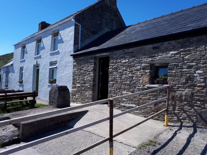 Enclosure in KnocknanarneyEnclosure · 905 yd
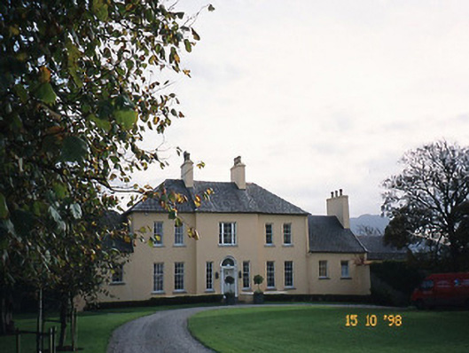 Churchill Houserectory/glebe/vicarage/curate's house · 1405 yd
 CastleCastle, unclassified · 1.0 mi
 Samphire IslandIslet · 1.4 mi
 Saint BrendanMemorial · 1.5 mi
 Fenit BeachBeach / strand · 1.6 mi
 Derrymore Island Nature ReserveNature reserve · 1.7 mi
 Fenit Castle (in ruins)Castle, tower house · 2.2 mi
 Samphire Island LittleIslet · 2.2 mi
 CloghnacroustaNamed rock · 2.3 mi