What is recorded here
Kilfelim and the wider region contain several earthworks called Fairy forts in local tradition. These are often ancient boundary markers, burial places or abandoned farmsteads that became cloaked in legend. The name Fairy fort appears across the region, but each site must be judged on its own shape, setting and remains.
The Archaeological Survey of Ireland (ASI) is in the process of providing information on all monuments on The Historic Environment Viewer (HEV). Currently the information for this record has not been uploaded. To access available information for research purposes please make an appointment in advance with the Archive Unit (open Fridays 10.00 am – 5.00 pm), Department of Housing, Local Government and Heritage, The Custom House, Dublin 1 D01W6XO or email NMarchive@housing.gov.ie.
The monument record does not grant public access. Check the route and ask the landowner before entering private land.
- What survives
- Recorded monument
Places near here
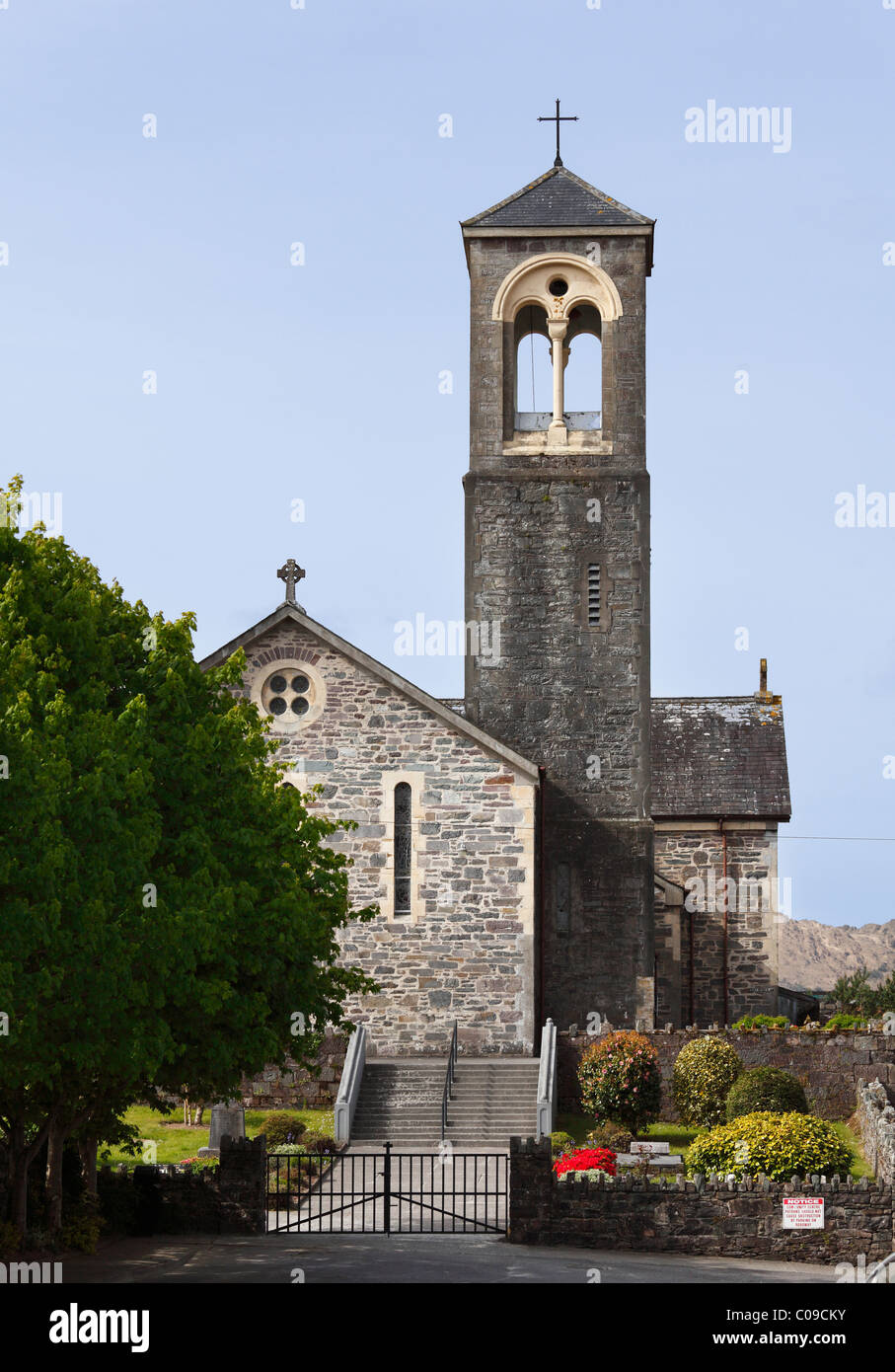 Kilfelim ChurchArchaeological place · 346 yd
 Site of Kilfelim ChurchChurch · 347 yd
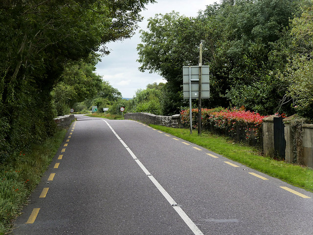 O'Connell Bridgebridge · 1734 yd
 KillChurch · 1.2 mi
 Site of Currans CastleCastle, unclassified · 1.4 mi
 CastleCastle, ringwork · 3.1 mi
 Crag CaveCave · 4.9 mi
 Ballygamboon Forest Recreation AreaWood · 6.5 mi
 Common AlderCommon Alder · 6.6 mi
 Aghadoe Early Medieval Ecclesiastical SiteHeritage attraction · 8.3 mi
 Famine MemorialMemorial · 8.9 mi
 Stack's MountainMountain / peak · 9.0 mi