What is recorded here
Fairy fort / earthen ringfort in Kilfeakle Churchquarter is a fairy fort or earthen ringfort in Kilfeakle Churchquarter, County Tipperary, Ireland. The oval site measures 25 metres north-south and 30 metres east-west, with a wide inner bank, external ditch and outer bank that remain visible from southwest through west-northwest and possibly at southeast. A causewayed entrance at east-southeast and a gap at south-southwest provide access to the grass-covered interior, which slopes gently eastward.
In good, gently undulating pasture. Oval area (dims. 25m N-S; 30m E-W) defined by a bank (Wth 7.3-7.9m; int. H 0.35-0.45m; ext. H 1.55-1.75m), external fosse (Wth 7.75-9.5m; D 0.45-1.25m) and outer bank (Wth 4.7m; int. H 1.25m; ext. H 0.4m) visible from SW-WNW and possibly at SE, with occasional breaches. The inner bank is best defined from NE-SW. There is a causewayed entrance (Wth 4m) at the ESE and a gap (Wth 4m) at the SSW. There is a round limestone boulder (Wth 0.5m; T 0.5m; H 0.45m) on the exterior of the fosse at the NE. The interior is grass covered and has a gentle E-facing slope. A rectangular enclosure (TS059-128001-) is adjoins to the S and W.
Compiled by: Jean Farrelly
Date of upload: 23 October 2013
The monument record does not grant public access. Check the route and ask the landowner before entering private land.
- What survives
- Recorded monument
Places near here
 Enclosure in Kilfeakle ChurchquarterEnclosure · 45 yd
 Kilfeakle Castle (in ruins)Castle, tower house · 597 yd
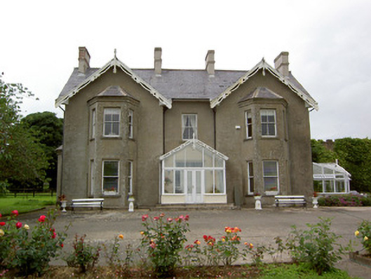 Grantstown Hallcountry house · 802 yd
 Site of Kilfeakle ChurchChurch · 880 yd
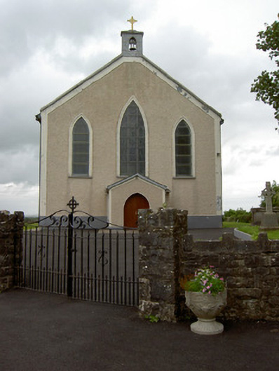 Saint Patrick's Catholic Churchchurch/chapel · 932 yd
 MoatCastle, motte and bailey · 1041 yd
 European ashEuropean ash · 1.9 mi
 I.R.A. 3rd. Tipperary Brigade MemorialMemorial · 3.8 mi
 Dundrum Woods (Marl Bog)Forest · 4.0 mi
 It's a long way to TippereryHeritage attraction · 4.4 mi
 Soloheadbeg Ambush SiteMemorial · 4.5 mi
 Soloheadbeg Ambushambush · 4.5 mi