What is recorded here
Fairy fort / earthen ringfort in Kilfeakle Churchquarter is a fairy fort or earthen ringfort in Kilfeakle Churchquarter, County Tipperary, Ireland. It occupies a circular area measuring 30 metres north-south and 29 metres east-west on an east-facing slope. A wide bank and deep ditch define the main enclosure, while a possible outer bank remains visible on the east side from east-northeast to south-southeast. A level step appears on the interior bank in several places, but dense briars obscure it elsewhere.
In good pasture, on an E-facing slope. Circular area (dims. 30m N-S; 29m E-W) defined by a bank (Wth 11.55m-11.7m; int. H 0.4-0.8m; ext. H 2.7-3.9m) and fosse (Wth 11.5m; D 1.85m) which is deepest S-W-N and wider, yet shallow (Wth 14.7; D 0.2m) N-E-S. There are the remains of a possible outer bank (Wth 12.6m; int. H 0.2m; ext. H 0.5m) ENE-SSE. A level step (Wth 2.5m) is noted on the interior of the bank from ESE-SE and W-WNW and is defined by a scarp (Wth 0.9m; H 0.2m) falling into the interior. It is obscured elsewhere due to a dense growth of briars. There is a possible entrance (Wth 3.75m) at the E. The interior has an E-facing slope and is covered with tussocks.
Compiled by: Jean Farrelly
Date of upload: 26 August 2011
The monument record does not grant public access. Check the route and ask the landowner before entering private land.
- What survives
- Recorded monument
Places near here
 Enclosure in Kilfeakle ChurchquarterEnclosure · 458 yd
 Site of Kilfeakle ChurchChurch · 576 yd
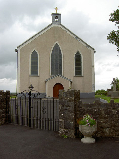 Saint Patrick's Catholic Churchchurch/chapel · 577 yd
 MoatCastle, motte and bailey · 686 yd
 Kilfeakle Castle (in ruins)Castle, tower house · 1020 yd
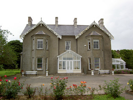 Grantstown Hallcountry house · 1224 yd
 European ashEuropean ash · 1.9 mi
 I.R.A. 3rd. Tipperary Brigade MemorialMemorial · 3.8 mi
 Bansha ForestForest · 4.1 mi
 It's a long way to TippereryHeritage attraction · 4.5 mi
 The Maid of ErinMemorial · 4.6 mi
 Soloheadbeg Ambushambush · 4.7 mi