What is recorded here
Half-buried in grass on a north-facing slope, the Kildrum ringfort keeps its oval shape only where the earth still holds. A bank curves from east through south to northwest, while a faint ditch marks the southern edge. The rest has surrendered to time and turf. What remains is large enough to walk inside and quiet enough to forget it was never empty.
On a N-facing slope in grassland. Poorly preserved oval rath (N-S 50.4m, E-W c. 40m) defined by a bank from E through S to NW. No visible surface trace survives elsewhere. Traces of an external fosse survive only at S.
The above description is derived from the published 'Archaeological Inventory of County Galway Vol. II - North Galway'. Compiled by Olive Alcock, Kathy de hÓra and Paul Gosling (Dublin: Stationery Office, 1999).
Date of upload: 05 August 2010
The monument record does not grant public access. Check the route and ask the landowner before entering private land.
- What survives
- Recorded monument
Places near here
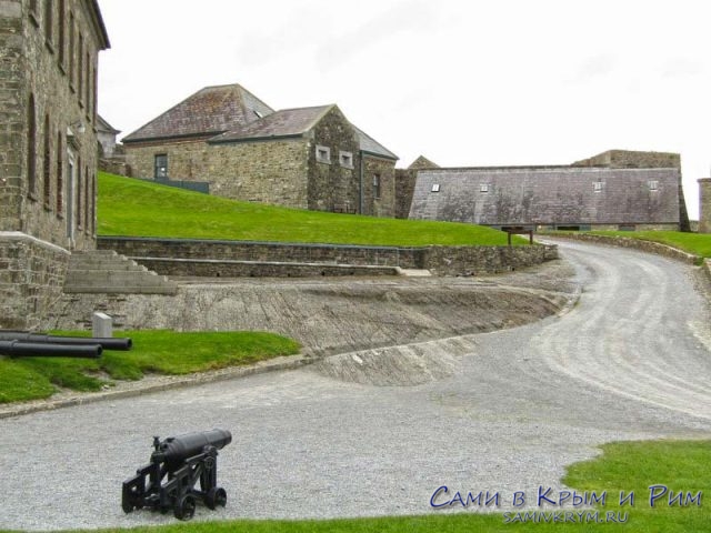 Cicily's FortArchaeological place · 9 yd
 Andrew's FortArchaeological place · 371 yd
 R.C. ChapelChapel · 1238 yd
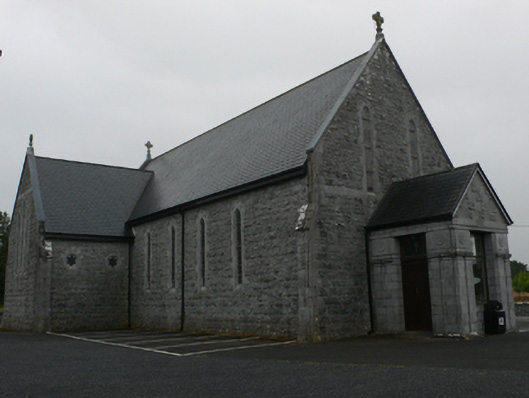 Catholic Church of Mary Immaculate and Saint Josephchurch/chapel · 1375 yd
 Castle Hacket (in ruins)Castle, hall-house · 1.8 mi
 Bawn in ArdrumkillaBawn · 1.8 mi
 KnockmaaWood · 2.1 mi
 Kilcoona Round TowerHeritage attraction · 3.1 mi
 Pesooge PlantationForest · 4.1 mi
 Mass RockNamed rock · 4.3 mi
 Ross Errilly FriaryHeritage attraction · 4.9 mi
 Walsh's IslandIslet · 6.2 mi