What is recorded here
Marked on the 1841 edition of the OS 6-inch map. Carrigan (1905, vol. 2, 180) refers to the site of a church and graveyard (LA016-023001-) here. Cropmark of circular enclosure visible on aerial photographs (GSI, S 158-9). No surface remains survive.
The above description is derived from the published 'Archaeological Inventory of County Laois' (Dublin Stationery Office, 1995) compiled by P. David Sweetman, Olive Alcock and Bernie Moran. In certain instances the entries have been revised and updated in the light of recent research.
Date of upload: 17 December 2007
A fairy fort or earthen ringfort in Kildrinagh is a circular earthwork likely dating to the early medieval period, associated with both domestic or ritual use and later folklore surrounding fairies. The site is linked to a former church and graveyard, and its circular cropmark suggests possible reuse or preservation of the original structure.
The monument record does not grant public access. Check the route and ask the landowner before entering private land.
- What survives
- Recorded monument
Places near here
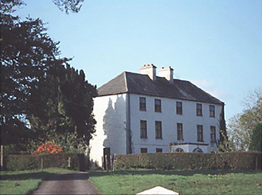 Shanderry Househouse · 776 yd
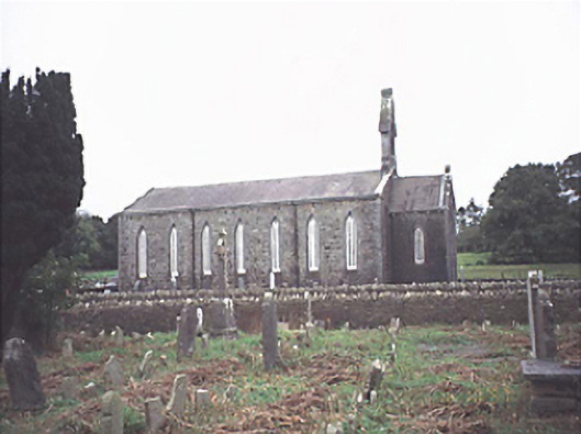 Saint Jude's Church (Offerlane)church/chapel · 1695 yd
 Ecclesiastical enclosure in Cashel (upperwoods By.)Ecclesiastical enclosure · 1.2 mi
 Brandy Bush FortFairy fort / earthen ringfort · 1.4 mi
 Mondrehid CastleCastle, tower house · 2.2 mi
 Derrin Castle (in ruins)Castle · 2.3 mi
 Sweet ChestnutSweet Chestnut · 2.9 mi
 European BeechEuropean Beech · 7.5 mi
 Millennium GardenMemorial · 8.8 mi
 Black HillMountain / peak · 8.9 mi
 Roscrea Petty Sessions HouseHeritage attraction · 9.4 mi
 Cumber HillMountain / peak · 9.4 mi