What is recorded here
Kilclaremore holds a broad earthen ring on a drumlin slope, its steep bank and shallow ditch marking a human dwelling that predates local memory. The earth has softened the edges, but the circle still resists forgetting.
Situated towards the bottom of the S-facing slope of a drumlin. This is a grass and rush-covered semicircular area (int. diam. c. 32m E-W) defined by a round-topped, steep-sided earthen bank (Wth 7.5m; int. H 0.25m; ext. H 0.8m) SE-W-NW which blends into the slope elsewhere, and a slight outer fosse (Wth 3m; D 0.3m) visible at W. The NE part of the monument, if it survives is overgrown.
The above description is derived from 'The Archaeological Inventory of County Leitrim' compiled by Michael J. Moore (Dublin: Stationery Office, 2003). In certain instances the entries have been revised and updated in the light of recent research.
Date of upload: 23 September 2008
The monument record does not grant public access. Check the route and ask the landowner before entering private land.
- What survives
- Recorded monument
Places near here
 IndicatedFairy fort / earthen ringfort · 207 yd
 St. Patricks WellHoly well · 1054 yd
 Sheemore Ambush MemorialMonument · 1300 yd
 Leabaidh DermotCave · 1714 yd
 bridgebridge · 1.5 mi
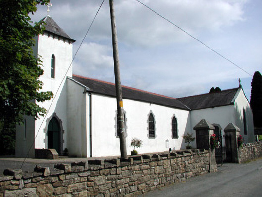 Saint Brigid's Catholic Churchchurch/chapel · 1.9 mi
 Rusheen IslandIslet · 2.3 mi
 Castle JohnCastle · 2.4 mi
 Small IslandIslet · 2.5 mi
 Shannon-Erne WaterwayVisitor information · 2.8 mi
 Sit of Breifny CastleCastle, tower house · 2.8 mi
 Battle of Áth an Chipbattle · 3.2 mi