What is recorded here
Kilbreedy holds a circular earthen ringfort roughly forty metres across, marked by a tree-covered bank and two gaps that face east and west. It stands in pasture beside older enclosures, preserving the shape drawn on nineteenth-century surveys while fading into grass and shadow. The fort may have housed families, stored grain or marked local authority, yet its exact role has slipped away. What remains is a quiet ridge of soil, waiting for someone to walk its edge and imagine the hands that shaped it.
In pasture, in SW corner of field, enclosures (LI038-097/098----) lie 100m to the E and 180m to the SW respectively. Depicted on the 1840 ed. OSi 6-inch map as a raised oval-shaped platform defined by a scarp. Shown on the 1897 ed. OSi 25-inch map as circular-shaped area (dims. c. 39m N-S; 41m E-W) enclosed by a bank and external fosse. In 1840 the Ordnance Survey recorded this monument as ‘four ancient forts, one in the N and the other three in the SW of the townland’ (OSNB Abbeyfeale to Bruree, 270). Monument visible as circular-shaped area enclosed by tree-covered bank with wide gap (Wth c. 17m) at E and smaller gap (Wth c. 5m) at W on OSi orthophotograph taken between 2005-12. Faint trace of cropmark of fosse visible on Google Earth orthoimage dated 16/03/2016.
See attached Google Earth orthoimages
Compiled by: Fiona Rooney
Date of upload: 19 April 2021
The monument record does not grant public access. Check the route and ask the landowner before entering private land.
- What survives
- Recorded monument
Places near here
 Kilbreedy Burial Gd (for Children)Children's burial ground · 336 yd
 Patricks WellHoly well · 838 yd
 Church (in ruins)Church · 1.2 mi
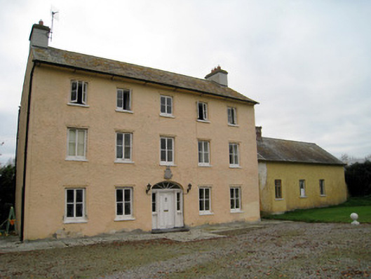 Cooleen Housebridge, country house · 1.4 mi
 Bruree Castle Lower (in ruins)Castle, Anglo-Norman masonry castle · 1.7 mi
 Eagle Mount MoteCastle, motte · 2.1 mi
 Saint Derivla's WellSpring · 4.1 mi
 KnockfeerinaMountain / peak · 4.8 mi
 Our Lady's WellSpring · 4.8 mi
 Famine stoneMemorial · 5.4 mi
 Flat cemetery in Kiltenan SouthFlat cemetery · 7.9 mi
 National Co-op MuseumMuseum · 11 mi