What is recorded here
Fairy fort / earthen ringfort in Kilbragh (Kilbragh parish) is a fairy fort or earthen ringfort in Kilbragh (Kilbragh parish), County Tipperary, Ireland. It occupies a circular area 26 metres north-south and 25 metres east-west on a southeast-facing pasture slope. A low earthen bank 8.25 metres wide defines the site and is best preserved from north-northwest through north to northeast and from south-southeast through south to west-southwest. From east-southeast to south-southeast the bank is reduced to a scarp 0.8 metres wide and 3 metres high, with traces of an external ditch 3 metres wide and 0.1 to 0.2 metres deep.
In pasture, on a SE facing slope. Circular area (dims. 26m N-S; 25m E-W) defined by low earthen bank (Wth 8.25m; int H 0.4m; ext H 0.95m) best preserved NNW-N-NE and SSE-S-WSW. Reduced to scarp (Wth 0.8m; H 3.0m) ESE-SSE. Traces of external fosse (Wth 3m; D 0.1m-0.2m). Interior tilts downslope to S. Earthen material removed from inside bank at NNW. Ringfort/Rath (TS069-025----) is located 170m to SE and Ringfort/Rath (TS069-017----) is 330m to N.
Compiled by: Jean Farrelly
Date of upload: 26 August 2011
The monument record does not grant public access. Check the route and ask the landowner before entering private land.
- What survives
- Recorded monument
Places near here
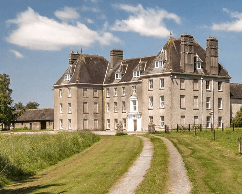
 Kilbragh Housestables · 460 yd
 Kilbraghhouse · 534 yd
 Enclosure in Railstown (railstown Par.)Enclosure · 1048 yd
 Enclosure in LowesgreenEnclosure · 1364 yd
 CastleCastle, ringwork and bailey · 1663 yd
 Tullamain MoatCastle, motte and bailey · 1.0 mi
 European YewEuropean Yew · 4.5 mi
 Cashel Folk MusuemMuseum · 4.5 mi
 Black mulberryBlack mulberry · 4.6 mi
 The Rock Of CashelVisitor information · 4.7 mi
 Ballyknock HillMountain / peak · 4.7 mi
 Cormac's ChapelHeritage attraction · 4.7 mi