What is recorded here
Kevit Lower holds a massive earthen ring, fifty-six metres across, where a substantial bank and ditch enclose a raised circular plain. The south bank breaks open like a mouth, perhaps marking the entrance used when people lived inside. The name Fairy fort suggests humans once feared or marveled the structure, projecting magic onto a dwelling they no longer recognized.
Large raised circular area (int. dims. 56m NNW-SSE; 54m ENE-WSW) enclosed by a substantial earthen bank and a fosse which is absent from SSE-S-NW. Break in bank at S may represent original entrance. E of this gap, bank does not rise above the internal area.
The above description is derived from the published 'Archaeological Inventory of County Cavan' (Dublin: Stationery Office, 1995). In certain instances the entries have been revised and updated in the light of recent research.
Date of upload/revision: 22 December 2008
The monument record does not grant public access. Check the route and ask the landowner before entering private land.
- What survives
- Recorded monument
Places near here
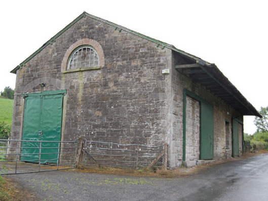 goods shedgoods shed · 707 yd
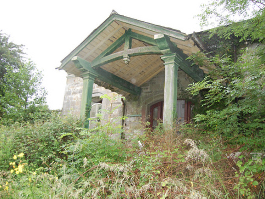 Crossdoney Railway Stationrailway station · 788 yd
 BellvilleMountain / peak · 862 yd
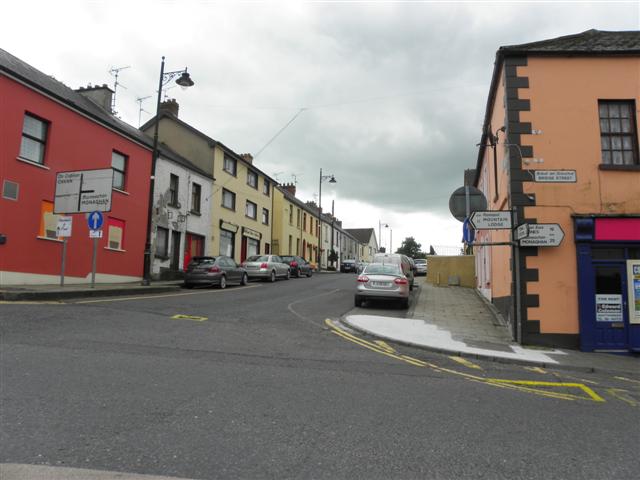 IndicatedFairy fort / earthen ringfort · 901 yd
 Captain Thomas Sheridan IRAMonument · 1105 yd
 Fleming's FollyForest · 1106 yd
 Coolnacarrick ForestForest · 1155 yd
 Castle CosbyCastle, unclassified · 1324 yd
 Lismore CastleCastle, unclassified · 1.1 mi
 DrumcarbanMountain / peak · 1.5 mi
 Carricknagore RockNamed rock · 3.0 mi
 Cornafean GFCMemorial · 3.1 mi