What is recorded here
Half a ring of earth, twenty-nine metres across, still holds its shape on the south-facing slope beside the main fort in Innygraga. The missing quarter may have been levelled for fields or lost to time, but the remaining bank rises a metre and a half at its tallest, stubborn enough to suggest the circle was never accidental. Trees have since taken the interior, softening what may have been a doorway, a boundary or a forgotten room in the landscape.
In tillage, on S-facing slope beside ringfort (CO076-05401-). Circular area (diam. 29.5m) enclosed by overgrown earthen bank SW->SE (int. H 1.1m; ext. H 1.45m); levelled SE->SW. Interior level and planted with trees.
The above description is derived from the published 'Archaeological Inventory of County Cork. Volume 2: East and South Cork' (Dublin: Stationery Office, 1994). In certain instances the entries have been revised and updated in the light of recent research.
Date of upload/revision: 14 January 2009
The monument record does not grant public access. Check the route and ask the landowner before entering private land.
- What survives
- Recorded monument
Places near here
 Man-made underground passage in Gearagh (imokilly By.)Man-made underground passage · 744 yd
 IndicatedKiln, lime · 853 yd
 Enclosure in Ballynacorra EastEnclosure · 967 yd
 Castle (in Ruins)Castle, tower house · 1325 yd
 Ardvillingfarmyard complex · 1.1 mi
 Edward BransfieldMemorial · 1.3 mi
 Castle Redmond (Site of)Castle, unclassified · 1.8 mi
 Ballyannan (Bluebell) WoodsForest · 1.9 mi
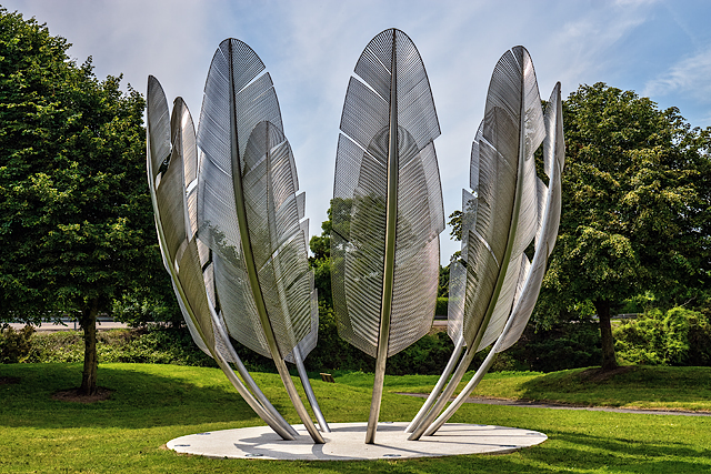 Kindred SpiritsMemorial · 1.9 mi
 Noel Collins BridgeVisitor information · 1.9 mi
 Jameson Distillery MidletonHeritage attraction · 2.1 mi
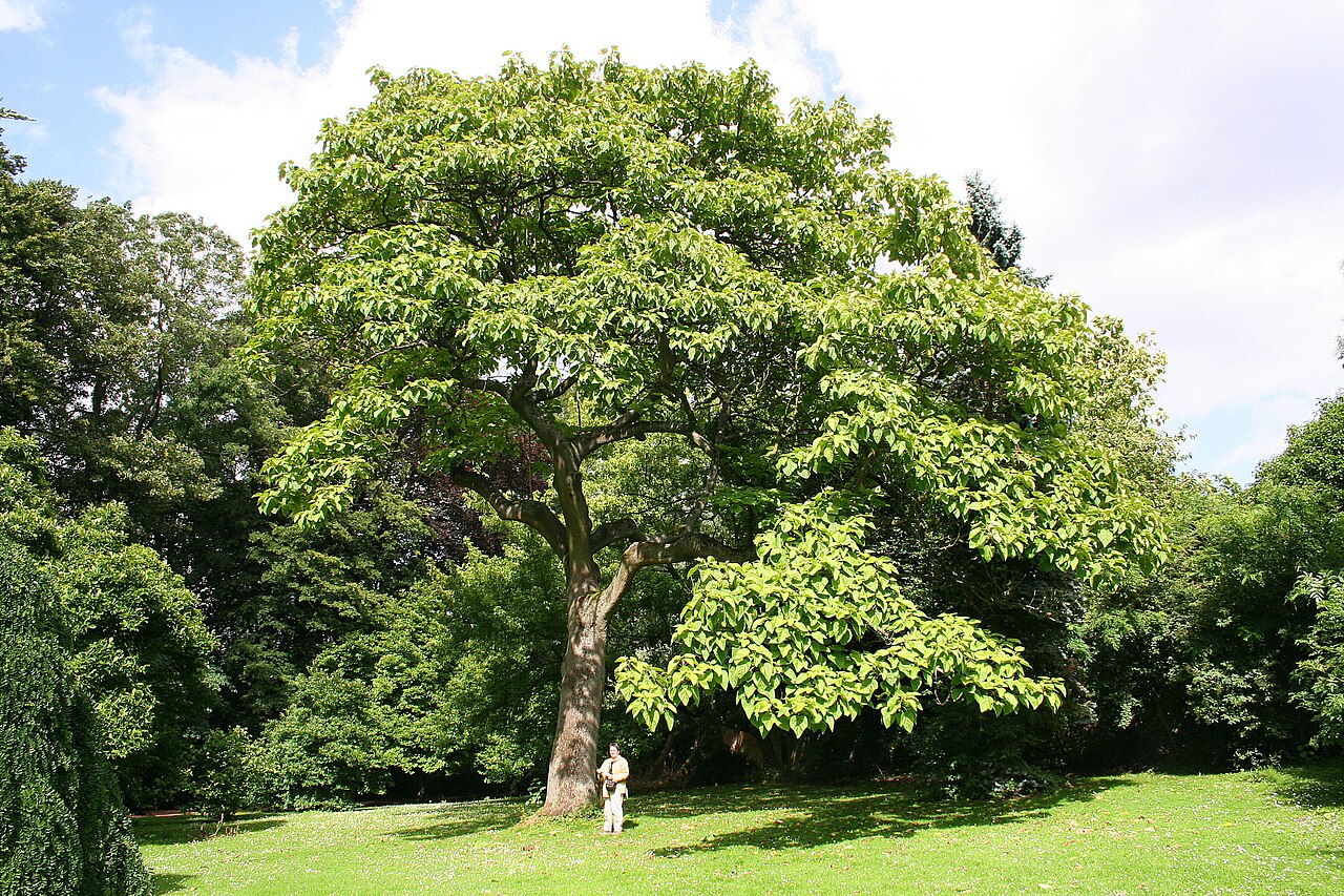 PrincesstreePrincesstree · 2.2 mi