What is recorded here
Inishroo is a place where the old fort vanished into grass and memory. The 1838 map still draws its circular line, about forty metres across, though no wall or ditch remains for a hand to touch. A field boundary cut through it long before anyone thought to protect it. The fairies may have taken back what people stopped using.
In reclaimed grassland. Marked on the 1838 edition of the OS 6-inch map as a circular enclosure (diam. c. 40m). An E-W running field boundary cut through it from SE to SW. No visible surface trace survives.
Compiled by: Galway Archaeological Survey, UCG
Date of upload: 25 July 2019
The monument record does not grant public access. Check the route and ask the landowner before entering private land.
- What survives
- Recorded monument
Places near here
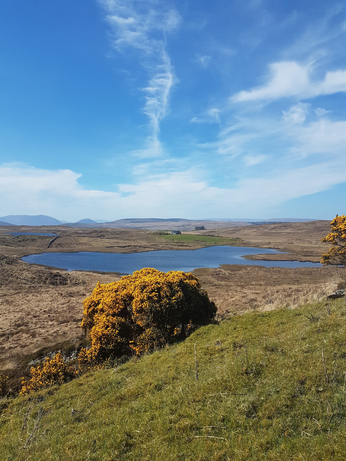 Parkaliss FortFairy fort / earthen ringfort · 686 yd
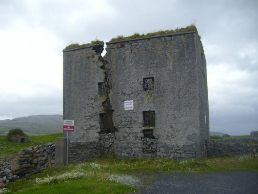
 Castle in ruinsCastle, unclassified · 749 yd
 kilnkiln · 1223 yd
 mill (tide)mill (tide) · 1235 yd
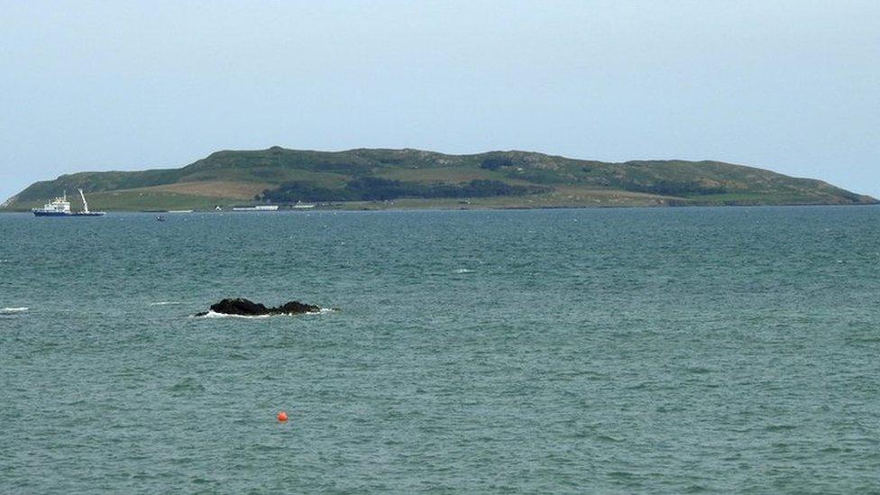 Lambs IslandIslet · 1411 yd
 Mass-rock in CarrownamaddraMass-rock · 1551 yd
 Bush IslandIslet · 1.5 mi
 Abbey HillMountain / peak · 2.0 mi
 Traught BeachBeach / strand · 2.0 mi
 Corcomroe AbbeyVisitor information · 2.6 mi
 Corcomroe Abbey Geopark SiteVisitor information · 2.6 mi
 CastleCastle, tower house · 2.9 mi