What is recorded here
Half a ringfort still stands in Greatheath, its northern curve preserved while the southern half vanished beneath a road or a forgotten building. The surviving bank rises twelve hundred centimetres above a shallow ditch, broad enough to suggest a defensible home rather than a casual heap of earth. A quarry trench now cuts through part of the site, filling the ancient shape with new spoil and making the boundary both clearer and contaminated. The loss is not mysterious: progress ate what it wanted, leaving a D-shaped reminder that even ordinary fields can contain interrupted lives.
A D-Shaped area (dims. 37.5m E-W; 15m N-S) defined by a large quarry trench from SW-NE with an unexcavated baulk at WNW. A bank visible immediately inside the line of the trench from WNW-NE consists of graded spoil material from the quarry. From NE-E a bank (Wth 3m; ext. H 1.2m) with a shallow external fosse (D 0.2-0.5m), outside of which is a berm (Wth 10m), is similar in form to that of ringforts. A roadwway runs from E-SW. Possibly the remains of a ringfort.
Site re-visited by Caimin O'Brien on the 08 May 2007. Situated atop high ground with good views in all directions. Only the N half of a ringfort survives consisting of a slight raised semi-circular shaped (dims. 37.5m E-W; 15m N-S) area enclosed by a bank (Wth 3m; ext. H 1.2m) with large quarry from NW through N to NE. The public road bisects this site on NE-SW axis with no evidence of the ringfort to the S of the road. This road is shown as bisecting the possible ringfort on the first edition of the OS six-inch map which also depicts the monument as a semi-circular shaped earthwork with no remains illustrated to the S of the road. A building depicted on this map on the S side of the road opposite the ringfort may have levelled the ringfort.
The above description is derived from the published 'Archaeological Inventory of County Laois' (Dublin Stationery Office, 1995) compiled by P. David Sweetman, Olive Alcock and Bernie Moran. In certain instances the entries have been revised and updated in the light of recent research.
Date of upload: 17 December 2007
The monument record does not grant public access. Check the route and ask the landowner before entering private land.
- What survives
- Recorded monument
Places near here
 Grave Yd.Chapel · 544 yd
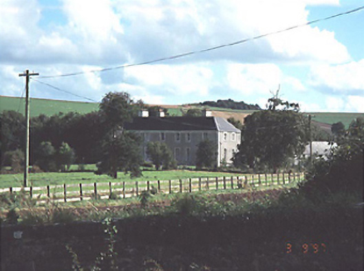 Heath Househouse · 853 yd
 RathshaneFairy fort / earthen ringfort · 899 yd
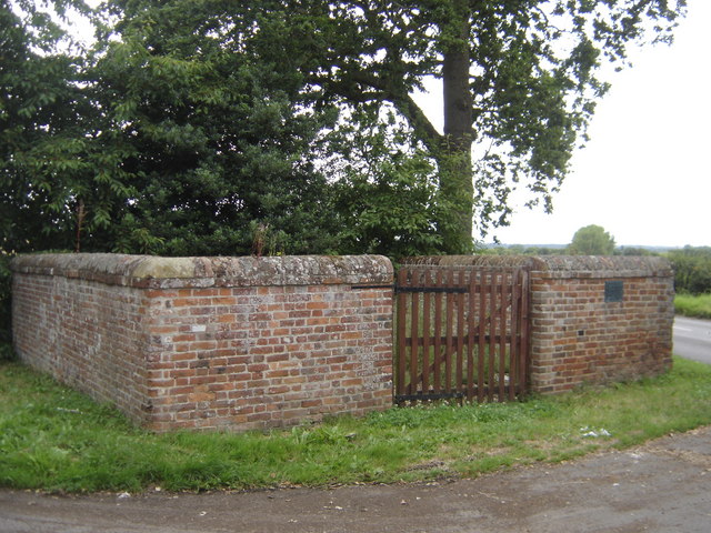 Enclosure in Greatheath (maryborough East By.)Enclosure · 1019 yd
 Coolbanagher Castle (ruins)Castle · 1.5 mi
 Morett Castle (in ruins)House, fortified house · 1.7 mi
 Rock of DunamaseCastle · 1.8 mi
 Rock of Dunamase InformationVisitor information · 1.9 mi
 Giant SequoiaGiant Sequoia · 3.5 mi
 European YewEuropean Yew · 3.5 mi
 Burial Ridge of MaryboroughMemorial · 3.5 mi
 Emo CourtHeritage attraction · 3.5 mi