What is recorded here
That is the only claim being made. The story is not that a hidden chamber exists or that the camera records ghost light. A private legend may be told anywhere, but it should not be written as history.
In flat pastureland. Marked on the OS 6-inch maps as a subcircular enclosure (c. 51m N-S; c. 47m E-W). No visible surface trace survives. The cartographic evidence suggests that it was a ringfort, probably a rath.
Compiled by: Galway Archaeological Survey, UCG
Date of upload: 11 March 2019
The monument record does not grant public access. Check the route and ask the landowner before entering private land.
- What survives
- Recorded monument
Places near here
 EnclosureEnclosure, large enclosure · 335 yd
 Enclosure in Grannagh (loughrea By.)Enclosure · 422 yd
 Rahaly Castle (in ruins)Castle, tower house · 1.2 mi
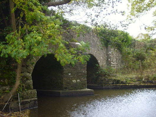 bridgebridge · 1.3 mi
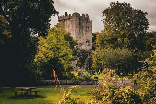 Bawn in CastleparkBawn · 1.4 mi
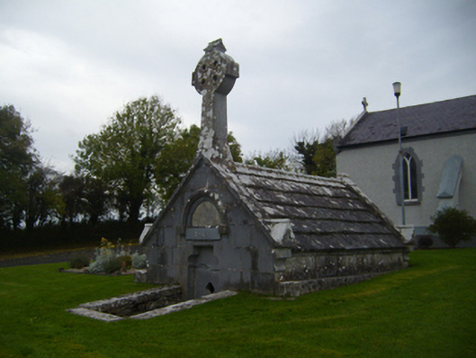 Saint Teresa's Catholic Churchmausoleum · 1.6 mi
 HawthornHawthorn · 3.3 mi
 European ashEuropean ash · 3.3 mi
 Drumharsna CastleHeritage attraction · 3.9 mi
 KnockapollboyMountain / peak · 5.2 mi
 Mulroney's IslandIslet · 8.2 mi
 MweenisharanIslet · 8.7 mi