What is recorded here
Situated on a natural hillock in low lying wet pasture-land. Yellow River 130m to E. Ringfort (WM007-032----) 140m to SE. A sub-circular raised area (approx. dims. 40m N-S; 37m E-W) enclosed by a poorly preserved earthen bank and a slight fosse. The raised interior has been severely impacted by quarrying. A gravel pit associated with quarrying is depicted at this location on the 1837 ed. OS 6-inch map. No antiquity is shown at this location on the 1837 ed. OS 6-inch map. On the revised 1875 ed. OS 6-inch map the possible monument is depicted as a circular-shaped earthwork with a gravel pit in the NE quadrant of the interior with an access path entering the gravel pit at NE. This earthwork may be the result of post-medieval quarrying.
See attached section of monument surveyed and drawn by the ASI in 1975.
Compiled by: Frank Coyne and Caimin O'Brien
Date of upload: 12 April 2017
The monument record does not grant public access. Check the route and ask the landowner before entering private land.
- What survives
- Recorded monument
Places near here
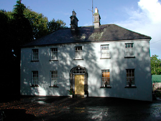 Grangestown Househouse · 530 yd
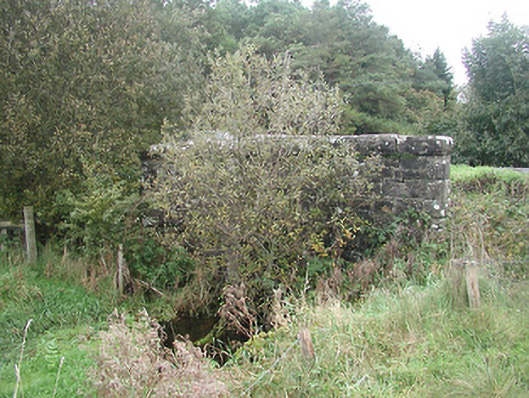 Kinturk Bridgebridge · 1341 yd
 Bawn in KiltoomBawn · 1636 yd
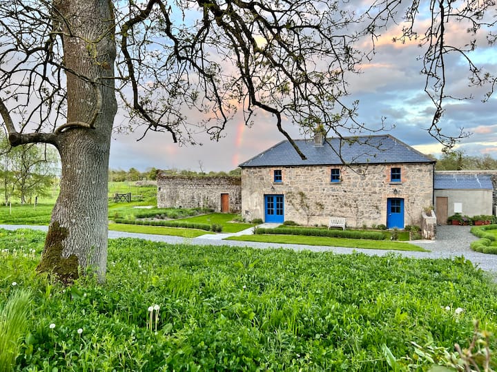 TobernamasalHoly well · 1746 yd
 IndicatedFairy fort / earthen ringfort · 1.1 mi
 Mortimer's CastleArchaeological place · 1.4 mi
 European BeechEuropean Beech · 1.9 mi
 Silver FirSilver Fir · 2.0 mi
 St Feichin's MillHeritage attraction · 3.8 mi
 South East GateHeritage attraction · 3.8 mi
 Bridge Memorial (Kenna)Memorial · 4.0 mi
 Ben of ForeMountain / peak · 4.4 mi