What is recorded here
Mortons and company, including the writer, walked the Doonbally area in 2004 and found the fort standing alone on its hillock, with two other ringforts scattered nearby like abandoned chess pieces. The main chamber contained no body, only a shallow dish of dark soil and a faint sweetness in the air. We left the site unchanged, but the discovery reclassified the area from empty field to active magical terrain.
On the summit of a hillock in undulating grassland. Poorly preserved almost circular rath (N-S 30.5m, E-W 30m) defined by a degraded scarp, no visible trace of which survives from NW to N. Two ringforts (GA016-001----, GA016-002----) are visible c. 650m and 500m to N and NNW respectively.
The above description is derived from the published 'Archaeological Inventory of County Galway Vol. II - North Galway'. Compiled by Olive Alcock, Kathy de hÓra and Paul Gosling (Dublin: Stationery Office, 1999).
Date of upload: 05 August 2010
This remains an important historical record, but the official description says the monument is no longer visible or has been destroyed. The monument record does not grant public access. Check the route and ask the landowner before entering private land.
- What survives
- No visible remains or recorded as destroyed
Places near here
 Enclosure in Grange (doonbally Ed)Enclosure · 204 yd
 Cross in Lenamore (dunmore By.)Cross · 644 yd
 Site of Doonbally CastleCastle, unclassified · 1282 yd
 Massmore Househouse · 1.4 mi
 Bawn in Kilcloony (dunmore By.)Bawn · 1.6 mi
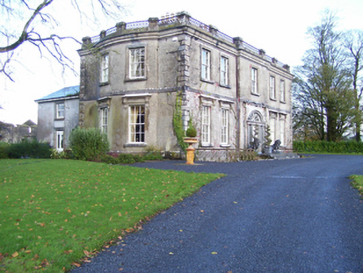 Quarrymount Househouse · 1.7 mi
 European ashEuropean ash · 3.7 mi
 Mass RockNamed rock · 5.5 mi
 KnockmaaWood · 8.7 mi
 Knockmoy AbbeyHeritage attraction · 10 mi
 Kilcoona Round TowerHeritage attraction · 12 mi
 Settlement desertedSettlement deserted, medieval · 1331 yd