What is recorded here
Half a metre of raised earth and a shallow ditch mark a circular home on a north-east slope in Gortnaskeagh. The causeway still points across the grass like a forgotten invitation, while the name Fairy fort suggests people once believed the shape belonged elsewhere. Human hands may have built the ring for living, but the small size and hidden entrance keep it close to dream and danger.
Situated on a NE-facing slope. Grass-covered circular platform (diam. 27m E-W; 26m N-S; H 0.5m) defined by a fosse (Wth 7m; D 0.4m) and an outer earthen bank (Wth 4m; H 0.2-0.3m). There is a causeway (Wth 4m) at NNE.
See the attached aerial view taken from the W.
The above description is derived from 'The Archaeological Inventory of County Leitrim' compiled by Michael J. Moore (Dublin: Stationery Office, 2003). In certain instances the entries have been revised and updated in the light of recent research.
Date of upload: 23 September 2008
The monument record does not grant public access. Check the route and ask the landowner before entering private land.
- What survives
- Recorded monument
Places near here
 Mass-rock in BallynabollMass-rock · 1.0 mi
 BenboMountain / peak · 1.1 mi
 Castle CarCastle · 1.3 mi
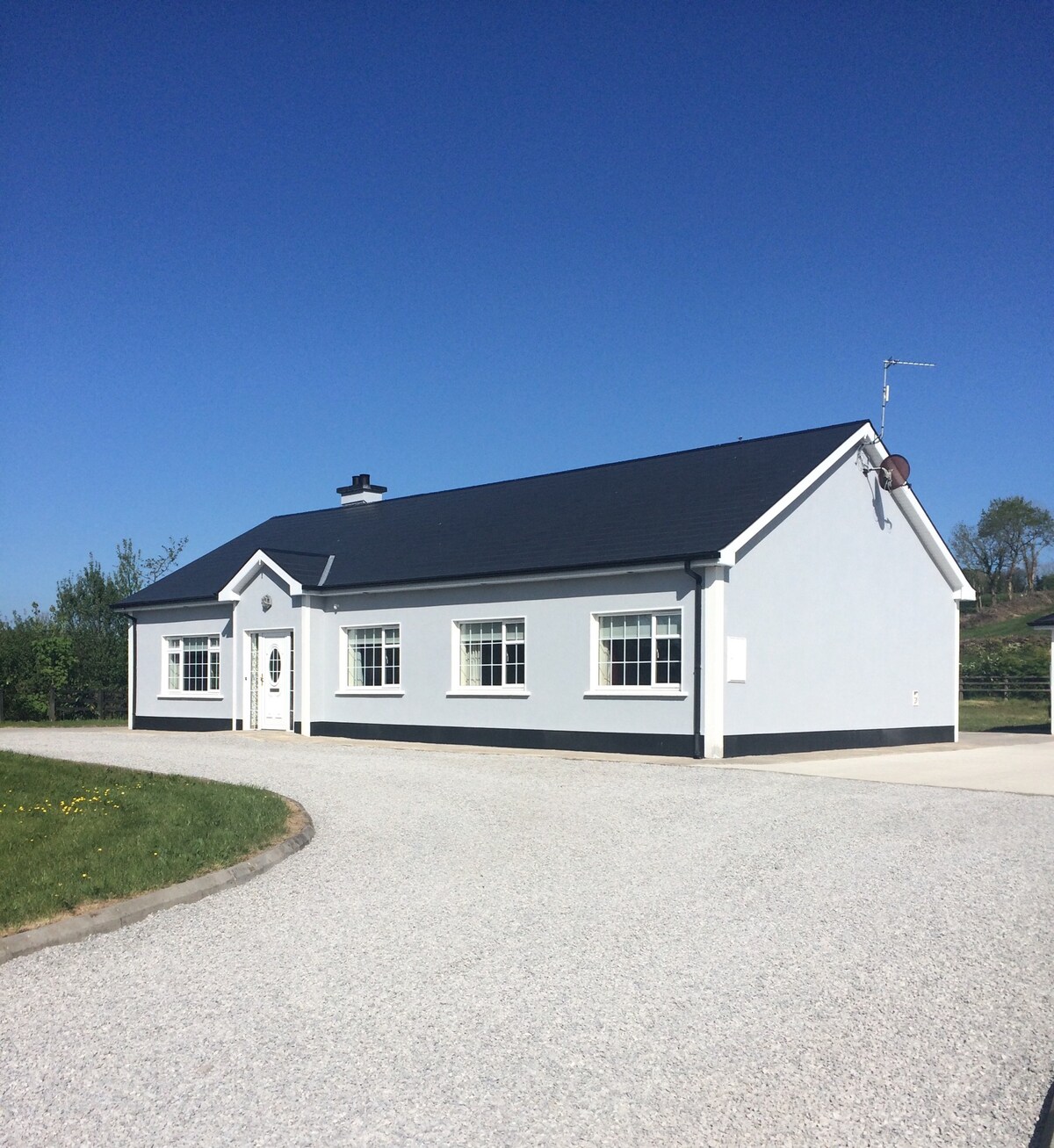 Enclosure in Conray (drumahaire By.)Enclosure · 1.4 mi
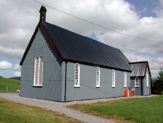 Lurganboy Church (Killasnet)church/chapel · 1.6 mi
 Giants RockNamed rock · 2.3 mi
 Longhill WoodForest · 2.3 mi
 Ashisland WoodForest · 2.4 mi
 Church (in Ruins)Church · 2.6 mi
 Green IslandIslet · 3.6 mi
 The Giants GraveArchaeological place · 3.8 mi
 Kilroosk RockNamed rock · 3.8 mi