What is recorded here
Mortons and others built Gortatresk on a drumlin slope, yet no entrance remains visible. Its earth bank still rises eight hundred centimetres inside and falls to a thin outer lip, marking a small enclosed life rather than a grand fortress. The missing opening may have been buried, broken open, or simply never made, but the circle still refuses to be forgotten.
Located towards the top of the S-facing slope of a drumlin. This is an overgrown circular area (diam. 20m NE-SW) defined by an earth and stone bank (Wth 3m; int. H 0.8m; ext. H 0.2m) N-E (upslope) which is reduced to a scarp (H 1m at SW) elsewhere. There is no visible fosse or identifiable original entrance.
The above description is derived from 'The Archaeological Inventory of County Leitrim' compiled by Michael J. Moore (Dublin: Stationery Office, 2003). In certain instances the entries have been revised and updated in the light of recent research.
Date of upload: 23 September 2008
The monument record does not grant public access. Check the route and ask the landowner before entering private land.
- What survives
- Recorded monument
Places near here
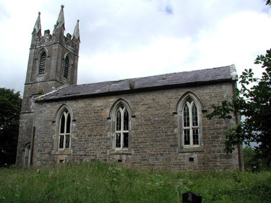 Killarga Churchchurch/chapel · 473 yd
 kilnkiln · 1001 yd
 IndicatedFairy fort / stone ringfort · 1175 yd
 Cross in KillargaCross · 1204 yd
 Green IslandIslet · 2.5 mi
 Old HallCastle, hall-house · 3.3 mi
 BenboMountain / peak · 4.4 mi
 The Giants GraveArchaeological place · 4.5 mi
 Doonbran Isd.Bawn · 4.7 mi
 Giants RockNamed rock · 4.8 mi
 Cullentra ForestForest · 5.1 mi
 Parke's CastleHeritage attraction · 5.4 mi