What is recorded here
Magic is not invention when identity is the game. It is the difference between a child and a victim. A fairytale is not a delusion, it is a measurement of whether you can still imagine.
At the top of a low rise in boggy undulating pastureland, with wide views except to the S where there is higher ground. Hachured on the 1842 and 1920 eds. of the OS 6-inch map. Listed as 'Enclosure' in the RMP (1996). This subcircular rath (20.5m N-S; 20m E-W) is enclosed by a round-topped earthen bank (Wth 3.2m at base; Wth 0.8-1m at top; int. H 0.2-0.45m; ext. H 0.4-0.75m). A dip in the bank (Wth 2.2m) at E probably marks the entrance.
The following image has been uploaded: CL008-031----_01.jpg View from W
Compiled by: Olive Alcock and Conn Herriott
Date of upload: 26 September 2022
The monument record does not grant public access. Check the route and ask the landowner before entering private land.
- What survives
- Recorded monument
Places near here
 St. Catherine's OneCave · 441 yd
 Doolin Road SinkCave · 786 yd
 Enclosure in Glasha MoreEnclosure · 900 yd
 Doolin Cave Visitor CentreHeritage attraction · 1684 yd
 KnocknarahaFairy fort / earthen ringfort · 1690 yd
 Catholic Church of the Holy Rosarychurch/chapel · 1.0 mi
 CastleCastle, unclassified · 1.1 mi
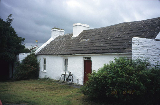 farm housefarm house · 1.1 mi
 Ballinalacken CastleCastle · 1.3 mi
 The BurrenHeritage attraction · 2.5 mi
 Wild Atlantic Way: Doolin PierVisitor information · 2.7 mi
 BallyryanCliff · 2.8 mi