What is recorded here
Glennascaul held a thirty-metre earthen ring before ploughs and borders erased it. The 1896 survey still caught its curved shadow, but McCaffrey found only smooth grass in 1952. Human hands built it, farming hands removed it, and memory now does the rest.
In grassland. Marked on the 1896 resurvey of the OS 6-inch map as a partially levelled circular enclosure (diam. c. 30m) cut by a NE-SW running field boundary at NE and W. No trace is indicated to the NW of the boundary. While described by Lynch Athy (1914, 136) as being completely levelled rath for cultivation, it still could just be traced. However, when visited by McCaffrey (1952, 115) no visible surface trace survived.
Compiled by: Galway Archaeological Survey, UCG
Date of upload: 11 March 2019
The monument record does not grant public access. Check the route and ask the landowner before entering private land.
- What survives
- Recorded monument
Places near here
 Enclosure in FrenchfortEnclosure · 1.1 mi
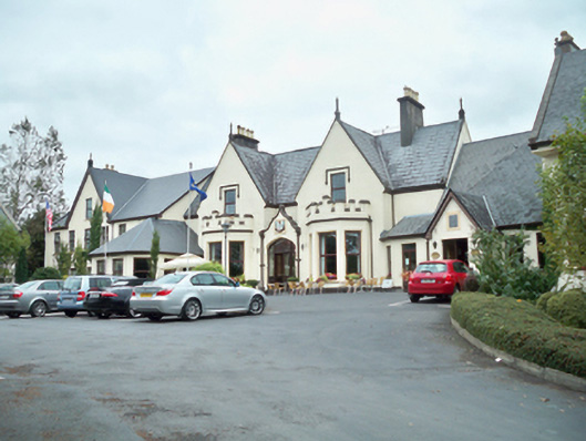 Oranmore Lodgehouse · 1.2 mi
 Mountvernon CottageHouse, 18th/19th century · 1.2 mi
 Site of Castle ParkanassaCastle, unclassified · 1.2 mi
 IndicatedFairy fort / stone ringfort · 1.3 mi
 Cloghmoyle Castle (in ruins)Castle, unclassified · 1.6 mi
 Aunteen WoodsWood · 3.2 mi
 Uncleen WoodsWood · 3.4 mi
 Leadmine HillMountain / peak · 3.9 mi
 Royal Tara Visitor CentreHeritage attraction · 4.3 mi
 Rabbit IslandIslet · 4.3 mi
 Cooper's CaveCave · 4.5 mi