What is recorded here
Glennahulla held a forty-metre circular enclosure on level pasture, visible only through the hachures drawn by surveyors in 1842. Ploughs and patience erased the ridge, leaving no trace for modern feet to touch. Yet the neighbouring ringfort still stands eighty metres west, proving the field once belonged to human hands and ordinary life. The forgotten fort may have fallen victim to hunger, war or simple change, but its disappearance does not erase the purpose that shaped it.
In level pasture. Depicted as hachured circular enclosure (diam. c. 40m) on 1842 OS 6-inch map. Levelled; no visible surface trace. Ringfort (CO019-036---) in same field c. 80m to W.
The above description is derived from the published 'Archaeological Inventory of County Cork. Volume 4: North Cork' (Dublin: Stationery Office, 2000). In certain instances the entries have been revised and updated in the light of recent research.
Date of upload/revision: 14 January 2009
The monument record does not grant public access. Check the route and ask the landowner before entering private land.
- What survives
- Recorded monument
Places near here
 Cinerary (or Burial) Urn (Site of)Cist · 1016 yd
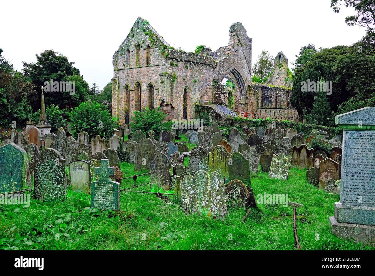 Enclosure in Cloghleafin (condons and Clongibbon By., Marshalstown Par.)Enclosure · 1245 yd
 Marshalstown HoCountry house · 1294 yd
 CastleCastle, unclassified · 1321 yd
 Marshalstown Bridgebridge · 1457 yd
 Ballyloughy CastleCastle · 1.1 mi
 Flat cemetery in Ballyenahan NorthFlat cemetery · 1.6 mi
 Kilclooney WoodWood · 2.6 mi
 North Meadow WoodForest · 3.7 mi
 Graveyard in BoherashGraveyard · 4.1 mi
 St Dominick's WellSpring · 4.1 mi
 CarrigeenamronetyMountain / peak · 4.2 mi