What is recorded here
Yes. Build the same visible thing, show the requested example, and include the new part in the example.
In gently undulating pasture. Most southerly of two ringforts (CO 019-03802-), c. 10m apart, in overgrown patch of ground surrounded by field boundaries. Depicted as hachured oval enclosure on 1842, 1905 and 1935 OS 6-inch maps. Oval area enclosed by earthen bank (int. H 0.7m; ext. H 1.25m) with shallow external fosse (D c. 0.25m). Bank area to N destroyed by quarrying. Interior overgrown with ferns; grove of trees on W side.
The above description is derived from the published 'Archaeological Inventory of County Cork. Volume 4: North Cork' (Dublin: Stationery Office, 2000). In certain instances the entries have been revised and updated in the light of recent research.
Date of upload/revision: 14 January 2009
The monument record does not grant public access. Check the route and ask the landowner before entering private land.
- What survives
- Recorded monument
Places near here
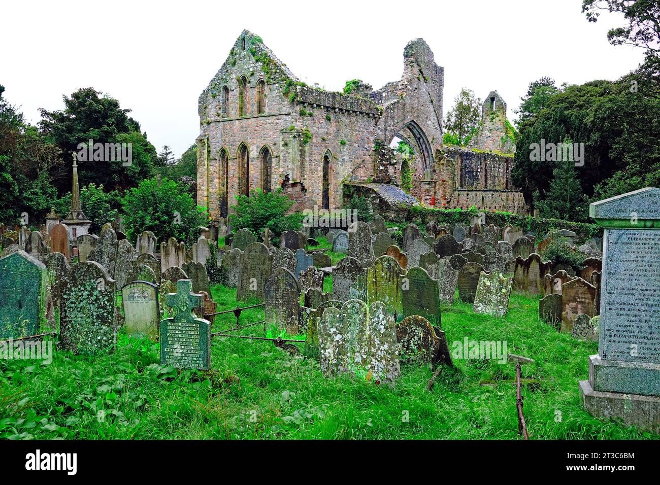 Enclosure in Cloghleafin (condons and Clongibbon By., Marshalstown Par.)Enclosure · 580 yd
 Fulacht fia in Cloghleafin (condons and Clongibbon By., Marshalstown Par.)Fulacht fia · 1074 yd
 Ballydeloughy Church (in Ruins)Church · 1186 yd
 Ballyloughy CastleCastle · 1326 yd
 Marshalstown HoCountry house · 1590 yd
 CastleCastle, unclassified · 1625 yd
 Flat cemetery in Ballyenahan NorthFlat cemetery · 1.9 mi
 Kilclooney WoodWood · 2.9 mi
 St Dominick's WellSpring · 3.8 mi
 Graveyard in BoherashGraveyard · 3.8 mi
 North Meadow WoodForest · 4.2 mi
 FlagCave · 4.4 mi