What is recorded here
Fairy fort in Glenleigh, County Cork: a 38m earthen ring on the edge of a steep fall to Owenbaun River, its bank partly levelled and absorbed into pasture fences. People may have lived there, marked boundaries there, or kept animals inside the shallow fosse before the shape became a boundary people could still see. The name suggests they also believed the place belonged to someone else, perhaps fairies, and left it alone because that edge looked alive even when empty.
In pasture, on edge of steep fall NNW down to Owenbaun River. Circular area (c. 38m WSW-ENE) defined by earthen bank (int. H 1.4m) S->NW, with shallow external fosse (Wth 3m) S->SSW and slight depression SSW->NW; low rise marks line of levelled bank NW->S. Surviving portion of bank incorporated into field fence system and planted with deciduous trees.
The above description is derived from the published 'Archaeological Inventory of County Cork. Volume 3: Mid Cork' (Dublin: Stationery Office, 1997). In certain instances the entries have been revised and updated in the light of recent research.
Date of upload/revision: 14 January 2009
The monument record does not grant public access. Check the route and ask the landowner before entering private land.
- What survives
- Recorded monument
Places near here
 KilnKiln, lime · 787 yd
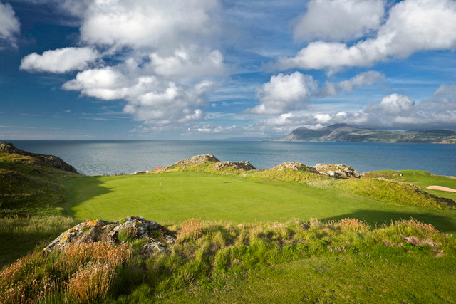 Fulacht fia in GlenleighFulacht fia · 884 yd
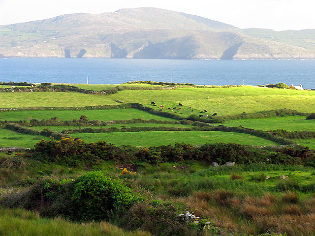 IndicatedKiln, lime · 985 yd
 Ecclesiastical enclosure in KilcorneyEcclesiastical enclosure · 1323 yd
 Rathcool WoodWood · 1.2 mi
 Castle and TurretCastle, tower house · 2.4 mi
 Blackwater (Duhallow) WayWalking route · 2.7 mi
 Battle of Knocknaclashybattle · 2.9 mi
 Dromsicane Castle (in Ruins)Bawn · 3.2 mi
 Millstreet Tourist InformationVisitor information · 3.3 mi
 St. Patrick's ChurchVisitor information · 3.3 mi
 Millstreet Museum & Tourist Information CentreMuseum · 3.4 mi